 |
|
|
|
|
|
|
|
|
|
|
|
|
|
|
|
|
|
|
|
|
|
|
|
|
|
|
|
|
|
|
|
|
|
|
|
|
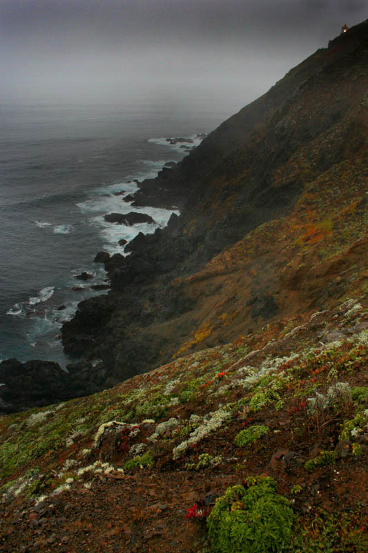
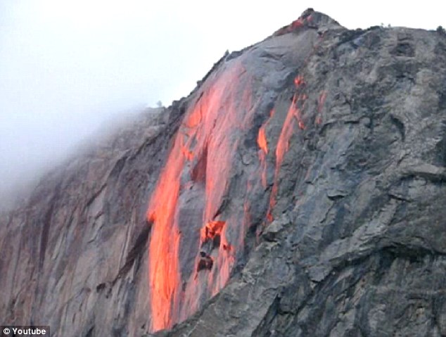
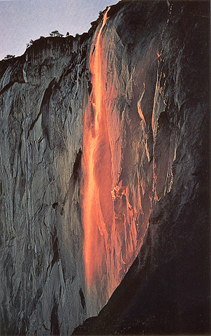
Fair Fall |
Bridalveil fall |


Chumash Indians lived and hunted in the dunes as early as 8,000 years ago. Their diet consisted largely of seafood and shellfish and their discarded piles of shells, termed "shell middens," can be seen on the Guadalupe-Nipomo Dunes. The Spanish explorer Juan Cabrillo was the first European to see the dunes in 1542. But it was not until 1769, when Gaspar de Portola''s expedition hunted and camped in the dunes, that the dunes were actually explored by the white people. Portola''s expedition began the Mission Era and the Christian indoctrination of the Indians. In the 1830s, the secularization of land brought an end to the Mission Period. A Mexican land grant established Rancho Guadalupe, which included the dunes. After the Civil War, Americans bought up the dunes and surrounding lands for ranching and farming. From 1923 to the 1950s, six films were set in the dunes, including Cecil B. Demille''s version of the Ten Commandments. In the 1930s a group of artists and alternative thinkers called the Dunites inhabited the dunes just north of the Guadalupe-Nipomo Dunes Preserve. During World II, poles were placed in bunkers along the dunes to resemble cannons and create a false defensive beach head to discourage a Japanese land invasion. These facilities were dismantled after the war and the area was again used for ranching and farming as well as sand harvesting and oil production.
Geography of the Dunes
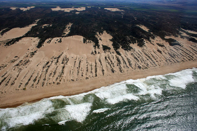
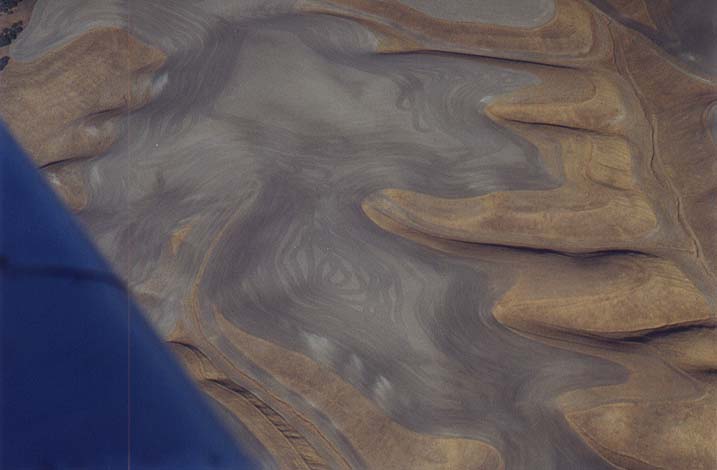
The Nipomo Dunes Complex is the second-largest stretch of dunes in California. The strip of coastline has the highest beach dunes in the western United States, with Mussel Rock Dune reaching a height of 500 feet. Dune-building began 18,000 years ago at the end of the last glacial period. The oldest dunes lie on the top of the Nipomo and Orcutt Mesas east of the preserve. These dunes are now stabilized and covered with plants. Between the mesas and the beach, younger dunes, created since the end of the of the Pleistocene Epoch, form a series of sparsely vegetated ridges and hollows. Wind-borne sand is carried inland from the beach and deposited into the characteristic parabola or bowl-shaped mounds.
The Santa Maria River plays a major role in the creating and maintaining the preserve''s dunes. The river brings sediment to the coast and deposits it on offshore sandbars during the winter season. In summer, this sediment is washed onto the beach and then blown inland by the northwesterly winds. This inland movement forms transverse-ridge and parabolic dunes. Plants stabilize the dunes; thus, when dunes are denuded of vegetation, the dunes are dispersed by the wind, and rapidly migrate inland
Guadalupe-Nipomo Dunes Overview
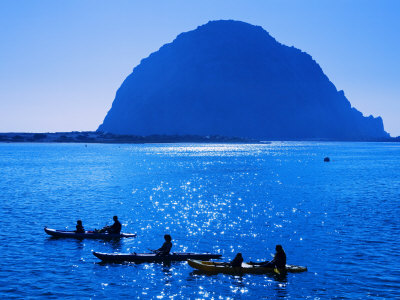
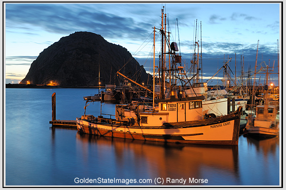
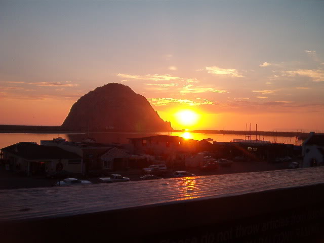
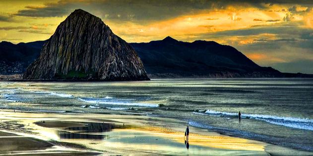
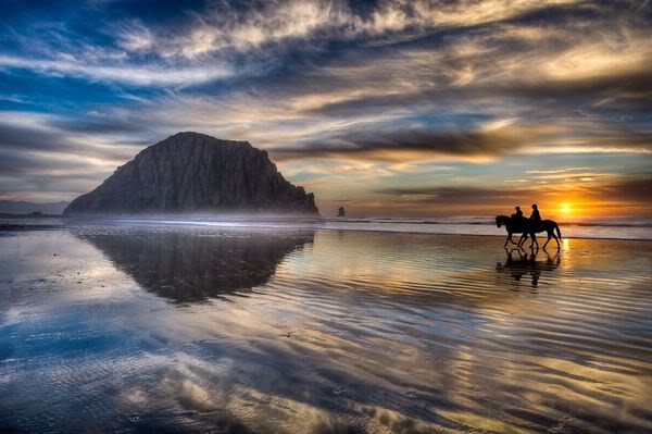
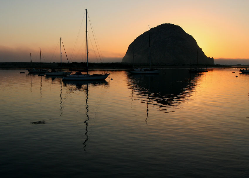
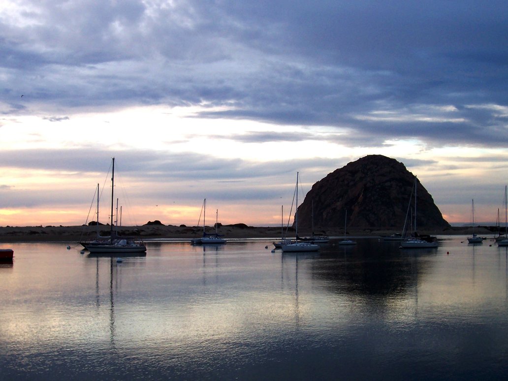
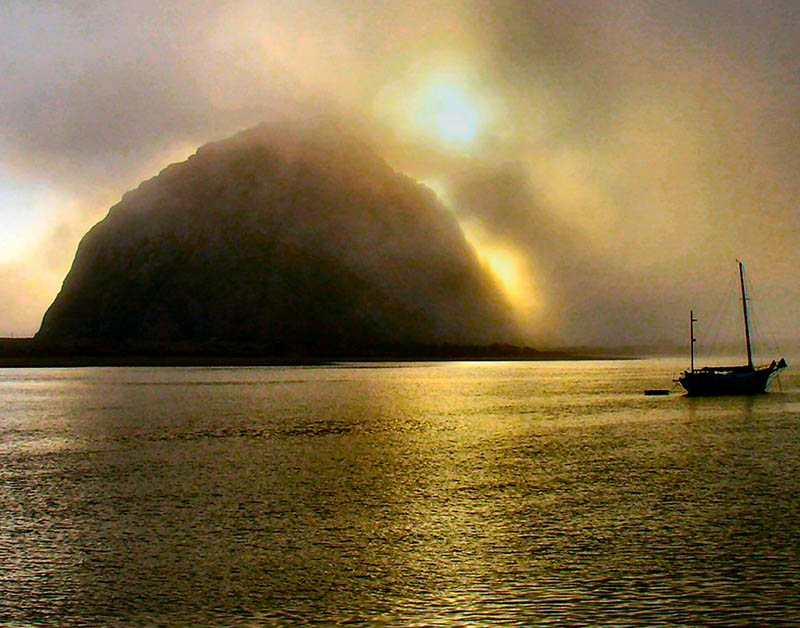
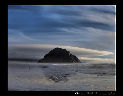
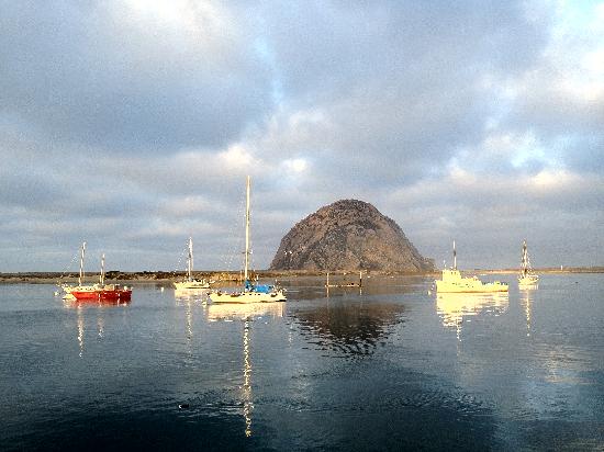
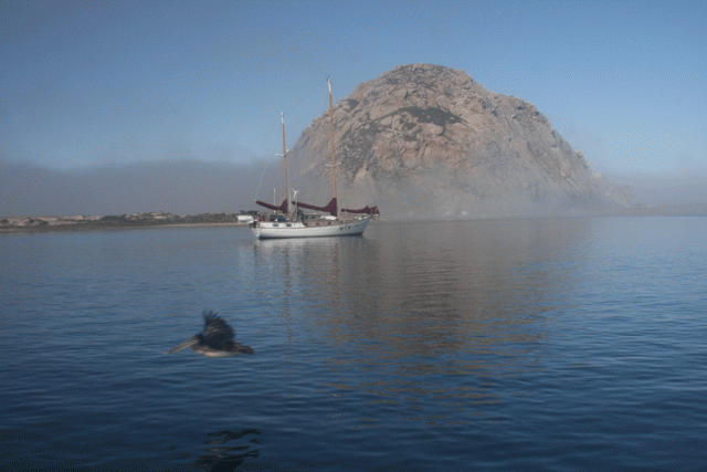
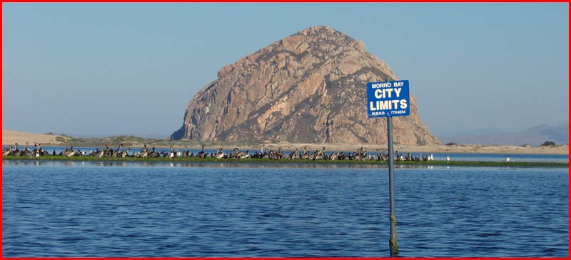
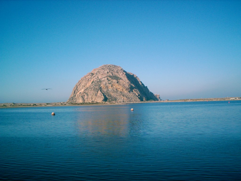
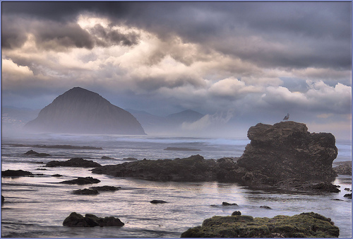
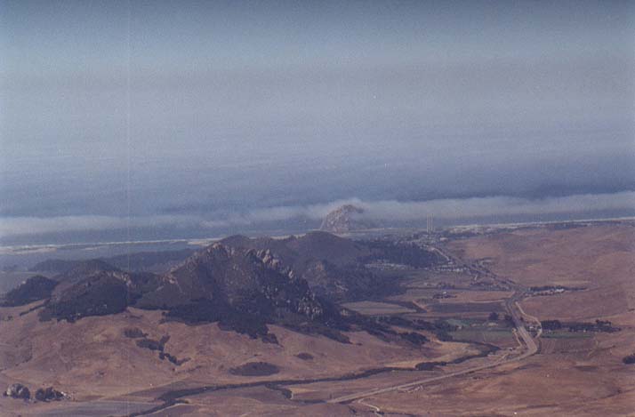
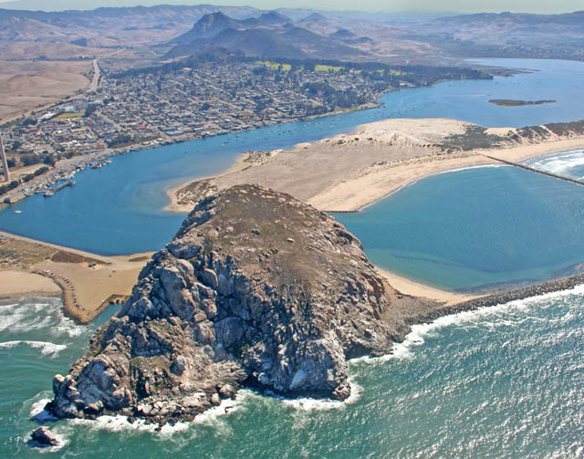
The seaside village of Morro Bay is just outside of San Luis Obispo on the Central Coast. This coastal city is a popular beach holiday destination. It also is know for fishing, kayaking and has a bird sanctuary. Morro Rock, also called "the Gibralter of the Pacific" is a 578'' volcanic plug that lies at the entrance to the harbor and is reserve for peregrine falcons. I thought this was an interesting view.
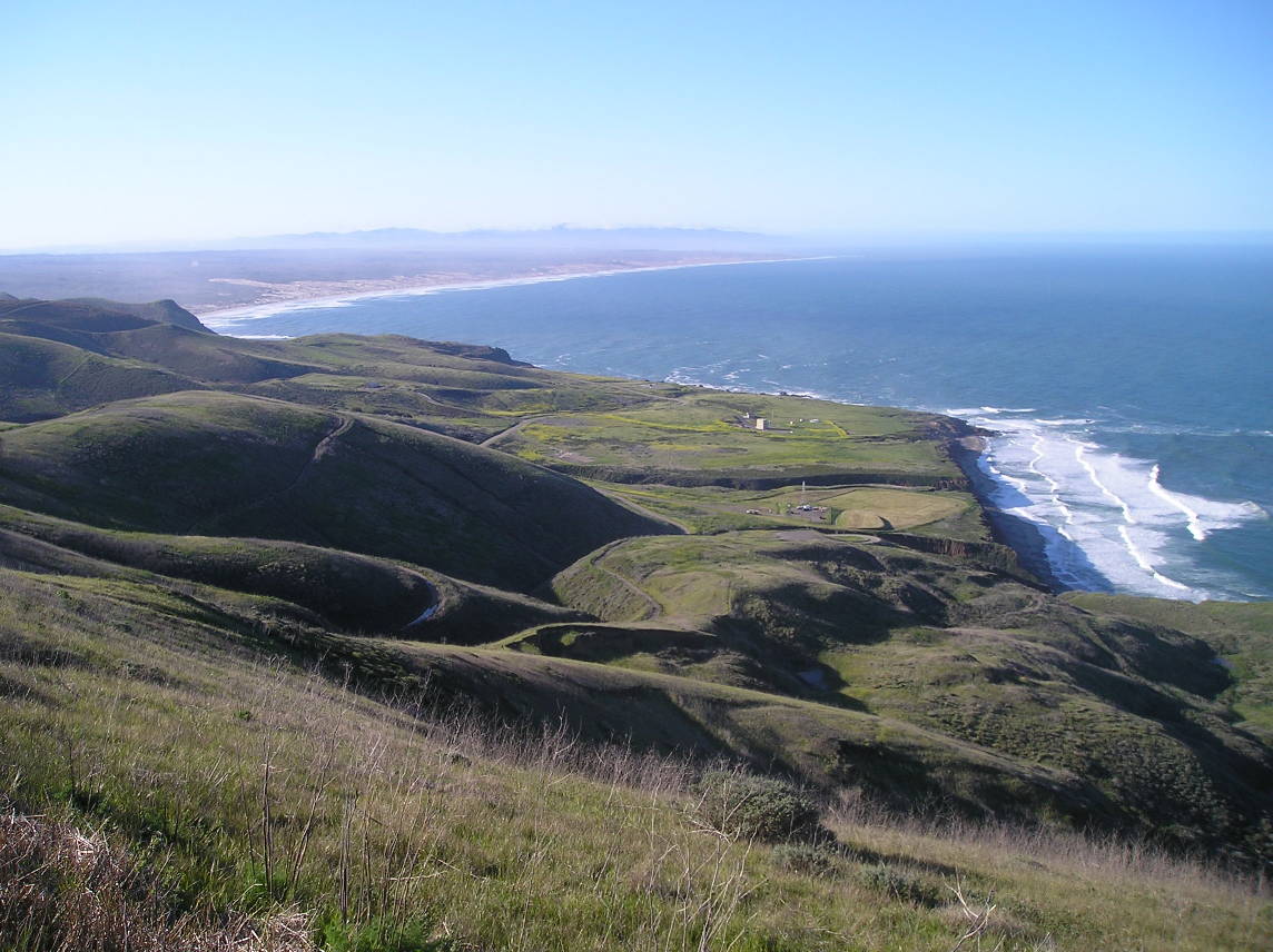
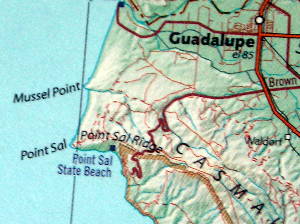
Point Sal State Beach- http://en.wikipedia.org/wiki/Point_Sal_State_Beach
And from the same vantage point you could see Los Osos and Morro Bay
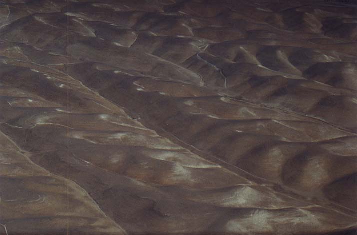
Some interesting California terrain, North of Paso Robles.
http://richp.com/pics/aerial-09-16-00/
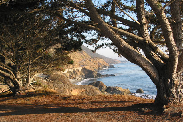
Looking Northward down highway 1 at Morro Bay, CA
http://www.bishoppeakgroup.net/Central%20Coast%20and%20SLO/Streams%20Estuaries%20and%20Oceans/streams%20estuaries%20oceans.htm animals
http://www.morrobay.com/estuary.htm
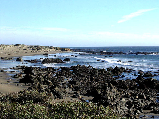
Estuaries-
where rivers and creeks meet the sea and fresh water mixes with salt- are among the earth''s richest and most productive habitats. They serve as spawning grounds and nurseries for at least two-thirds of our nation''s commercial fisheries, and are critically important to shorebirds and waterfowl.
Two dozen threatened and endangered species live in the Morro Bay watershed, including the peregrine falcon, brant, brown pelican, sea otter, Morro Bay kangaroo rat, black rail, snowy plover, steelhead trout, salt marsh bird''s beak, and Morro manzanita.
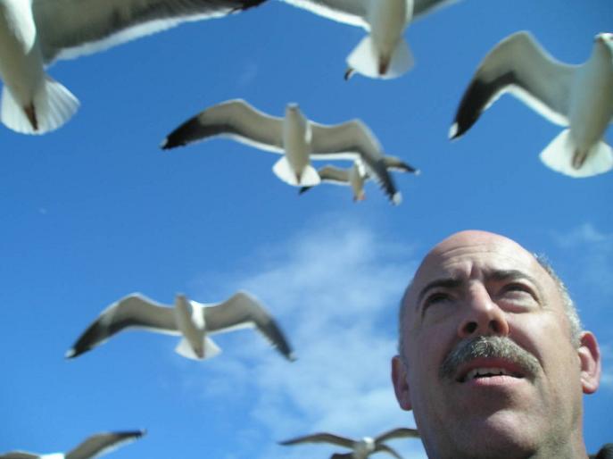
Usually in the top five nationally in Audubon Christmas bird counts, the bay is a major stop on the Pacific Flyway and the winter home of over 70 migratory bird species.
On the edge of this scenic bay, 30,000 people live in the coastal city of Morro Bay and the unincorporated communities of Los Osos and Baywood Park.
The area is a gem with many facets: from a commercial harbor to a nursery for marine fisheries, to a center for recreation and education-from volcanic Morro Rock at the harbor entrance to the rich agricultural lands drained by Chorro and Los Osos Creeks into the Morro Bay Estuary.
The Central Coast''s Morro Rock is a magnificent sight to see, and one of the Central Coast''s main attractions. In addition, Morro Bay is home to hundreds of species of birds, including rare and endangered species
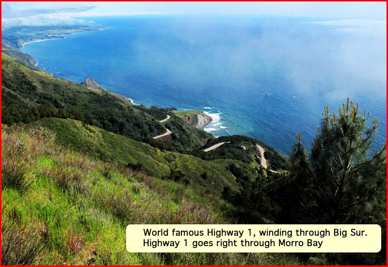
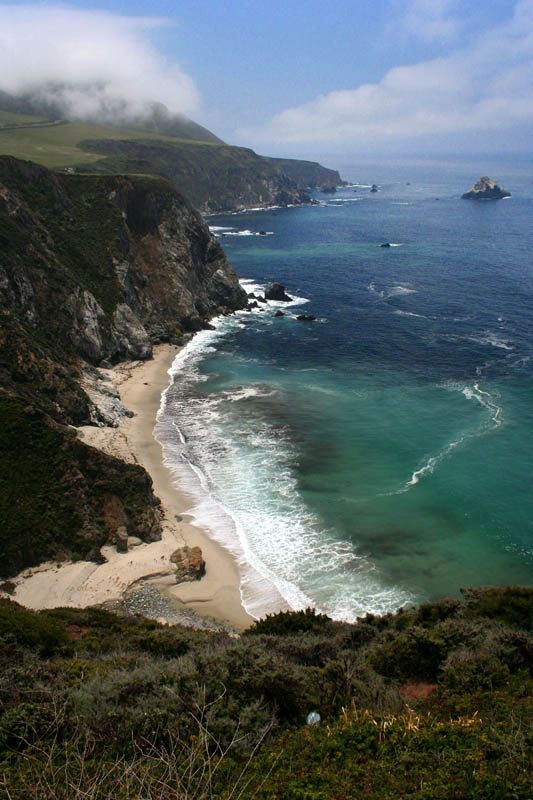
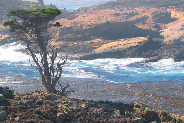
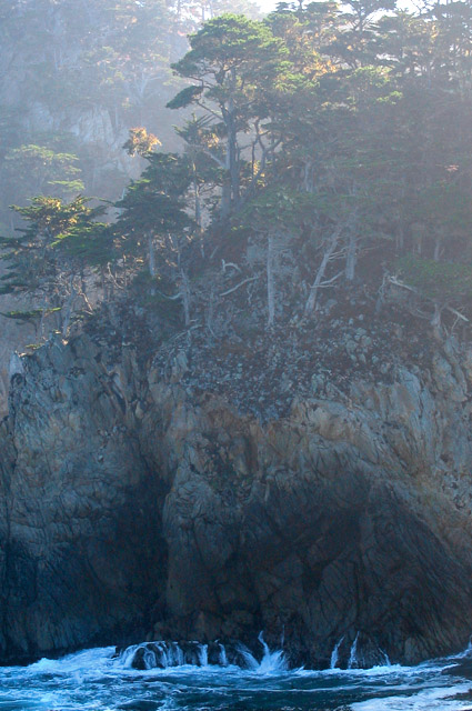
Central coast Santa Barbara to Big Sur
Winter Bird Hot Spots
Vacations aren''t just for summer. Here are some great winter bird hot spots, perfect for a winter vacation!
Ruth Ann Angus
Morro Bay Winter Bird Festival
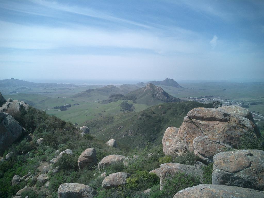
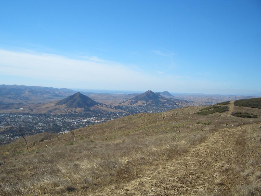
This is from Bishops peak, the 3rd of famous 7 sisters mountain cluster in San Luis Obispo and Morro Bay