 | Santa Rosa San Jacinto Mountains National Monument |
|
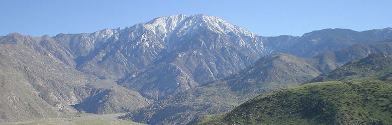
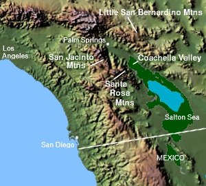
Santa Rosa and San Jacinta Mountains National Monument, California |
Santa Rosa and San Jacinto Mountains National Monument Visitor center |
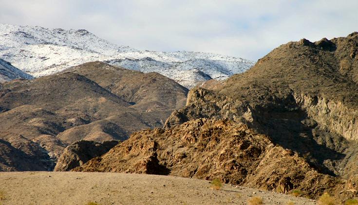
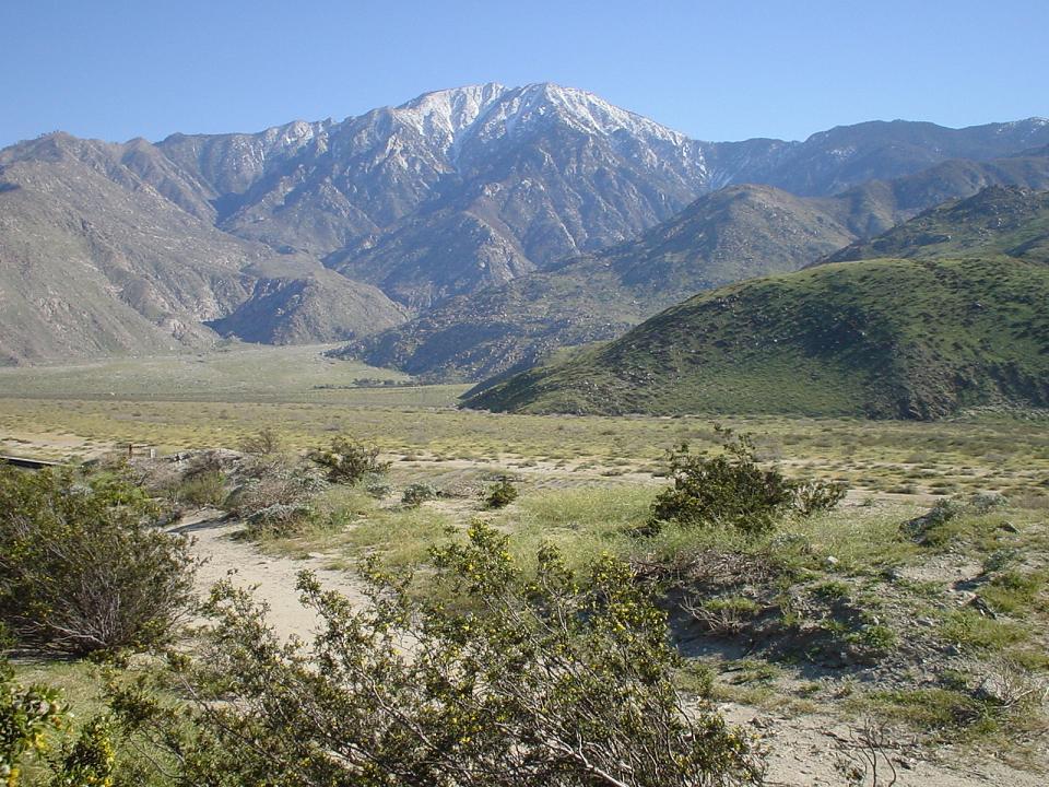
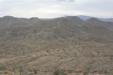
Santa Rosa and San Jacinto Mountains National Monument |
|
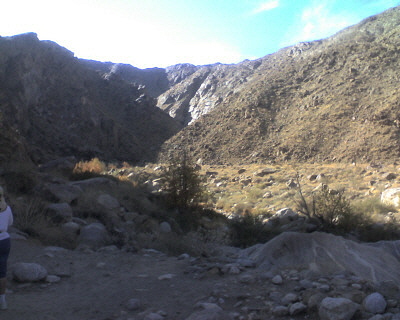
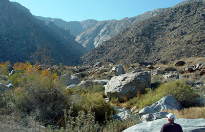
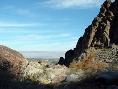
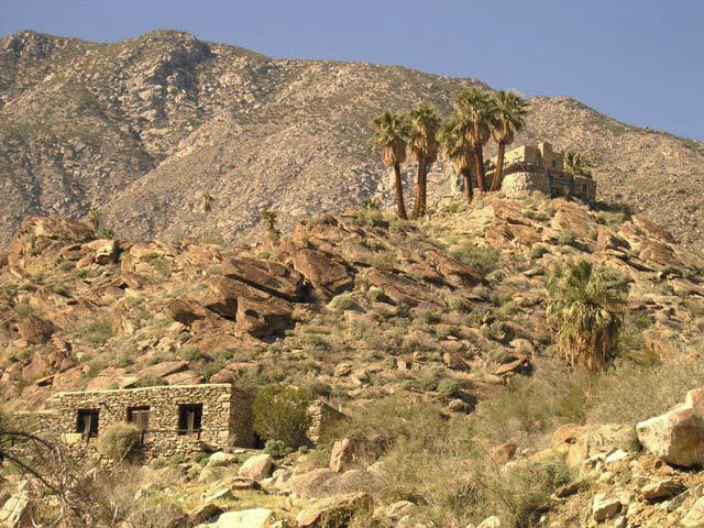
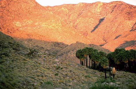
Indian Canyons |
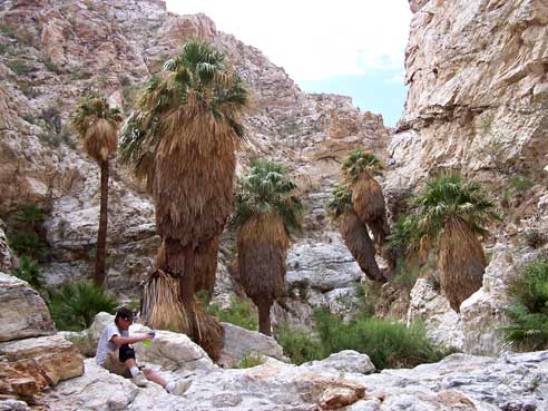
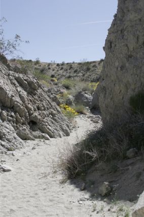
Fern Canyon |
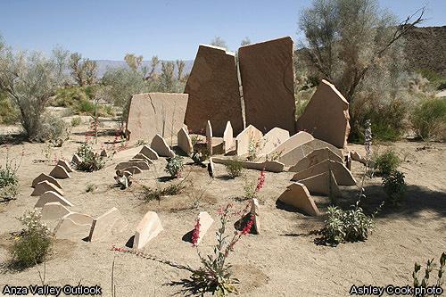
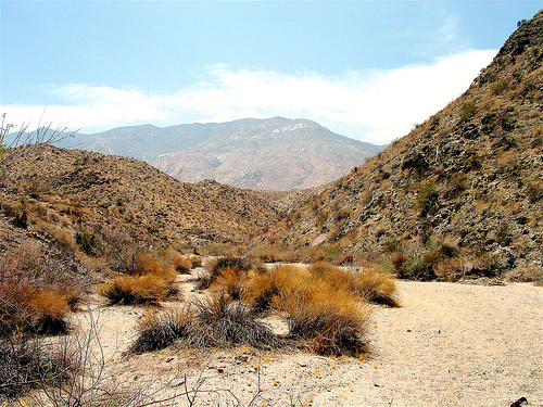
the Garstin/Wildhorse Garstin |
|
the Garstin/Wildhorse Garstin |
the Garstin/Wildhorse Garstin |
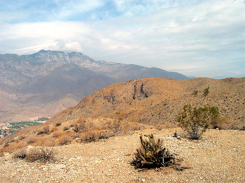
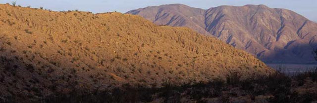
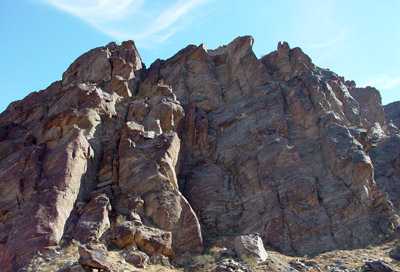
Santa Rosa Mountains |
|
|
Santa Rosa |
Santa Rosa |
|
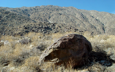
Lute Fault Scarp from the North with Coyote Mountain in the Distance - http://www.abdnha.org/pages/06_exploring/north/mines/lute.htm |
White Wash flows from the Santa Rosas Down into Horse Canyon -http://www.abdnha.org/pages/06_exploring/north/native/cahuilla.htm |
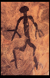
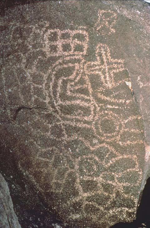
Rock Art: The Anza-Borrego Desert''s Forgotten Artist - http://www.abdnha.org/04rockart_main.htm - Not only is the quanity of rock art in Anza-Borrego exceptional, but the variety and quality are impressive |
|
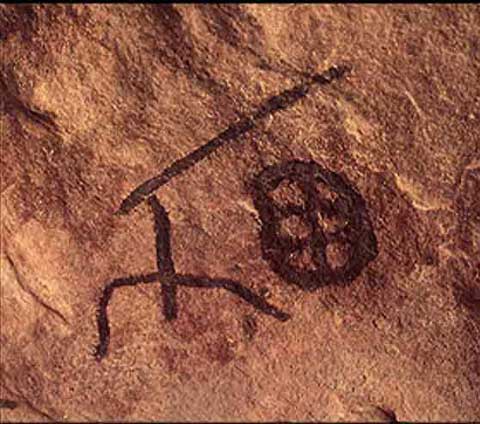
Rituals and Ceremonies recorded on stone |
Simple bold line drawings of shaman-artists |
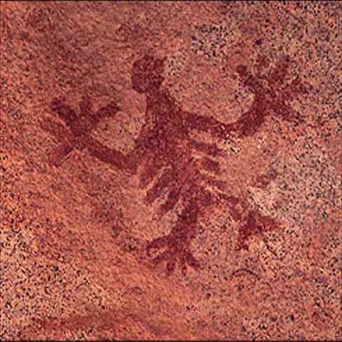
A glimmer of the symbols'' meaning comes from the outline of a bird, drawn in black. According to Kumeyaay legend, a beautiful bird lived here in the waters of the spring, but it was a spirit that could be seen only in a vision |
|
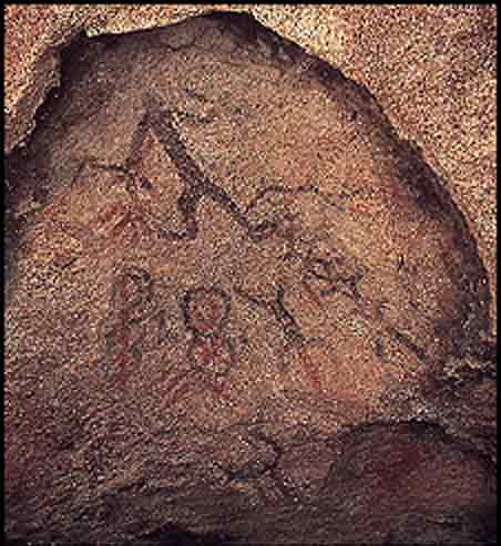
Lizard was a sacred figure in Indian mythology |
This rock art may have been associated with girls'' initiation ceremonies. Paintings at the conclusion of the rites of passage reaffirmed the final lessons of the ceremonies |
Santa Rosa Mountains |
|
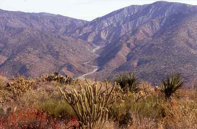
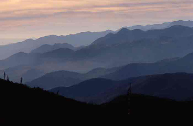
Mountains of the Northern Reaches of Anza-Borrego |
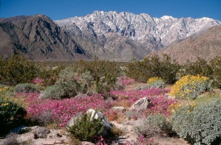
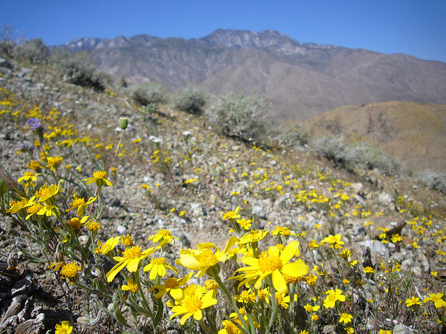
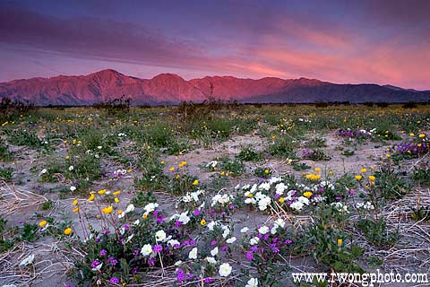
Spring Wildflowers and Sunrise Alpenglow on Santa Rosa Mountains, Anza Borrego Desert State Park, California |
Carrizo Canyon |
|
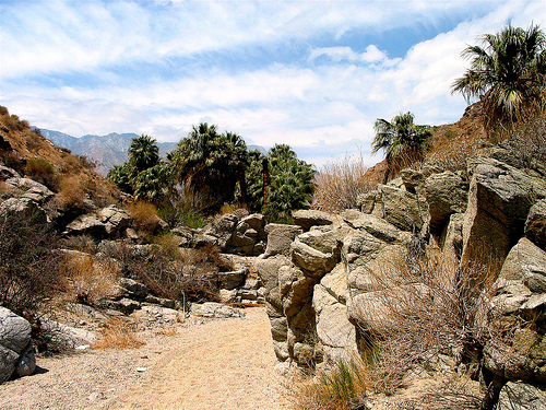
Tahquitz Canyon - the local Cahuilla Indians |
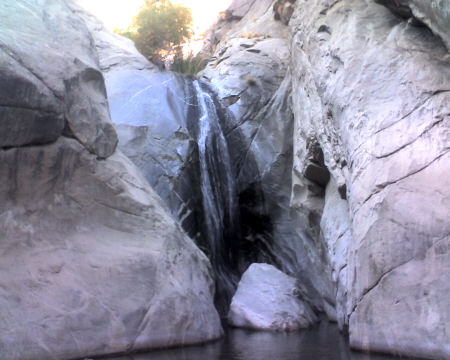
the falls above the Tahquitz Canyon Visitor Center |
the Tahquitz Canyon |
|
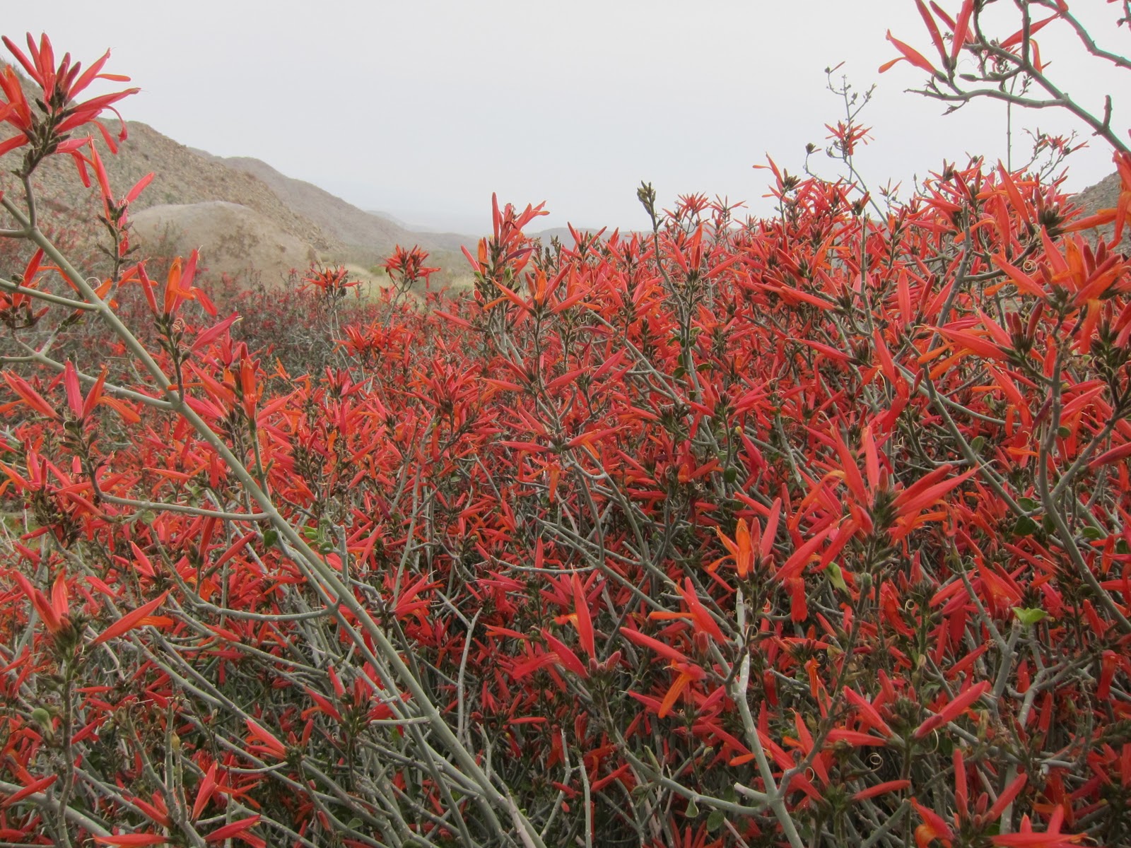
the Chuparosa bushes - the Tahquitz Canyon |
the Tahquitz Canyon |
the Tahquitz Canyon |
|
the Tahquitz Canyon |
the Tahquitz Canyon |
the Tahquitz Canyon |
|
Aqua Caliente Indian Reservation |
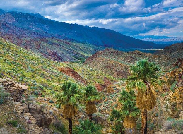
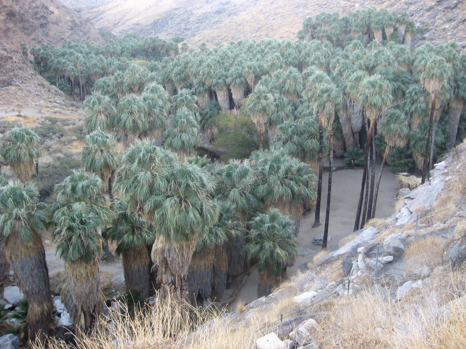
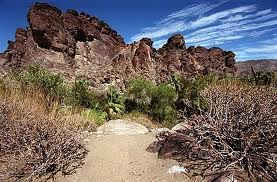
Indian Palm Canyons |
Indian Palm Canyons |
|
Agua Caliente Hot Spring (Agua Caliente Cultural Museum)- http://www.accmuseum.org/Hot-Spring-101 |
Tahquitz Falls (Agua Caliente Indian Reservation |
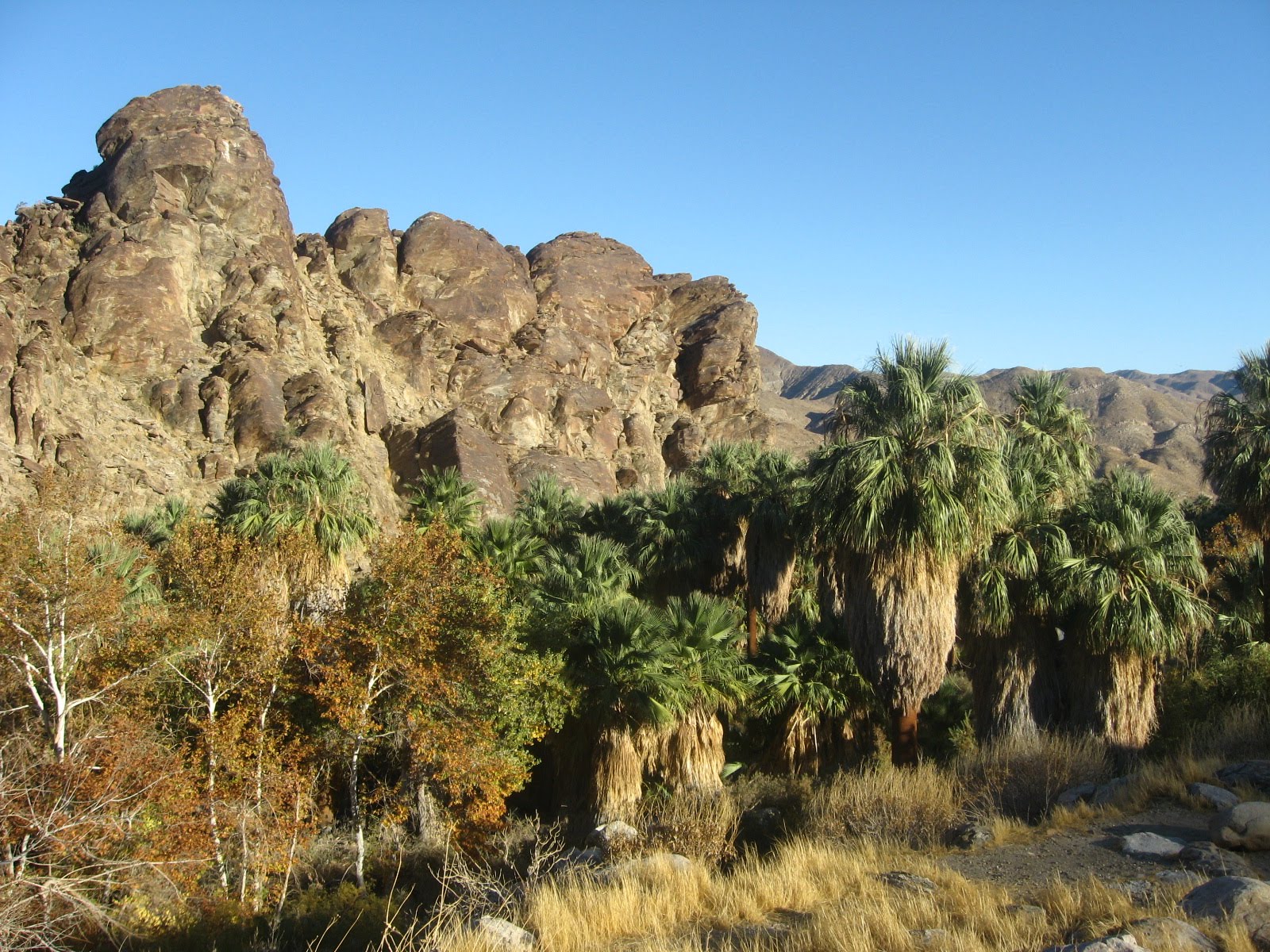
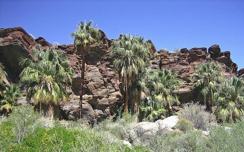
Andreas Canyon |
|
ōDry Oasisö, the Fern Canyon Trail |
Wild Horse Trail while hiking along the Garstin Trail. |
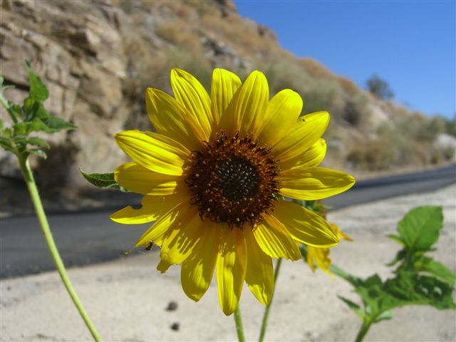
Springtime blooms along the Randall Henderson Trail, one of the few trails accessed from the Santa Rosa and San Jacinto Mountains National Monument visitor center |
|
Chuckwalla, Palm canyon |
Murray Canyon |
Andreas Canyon |
|
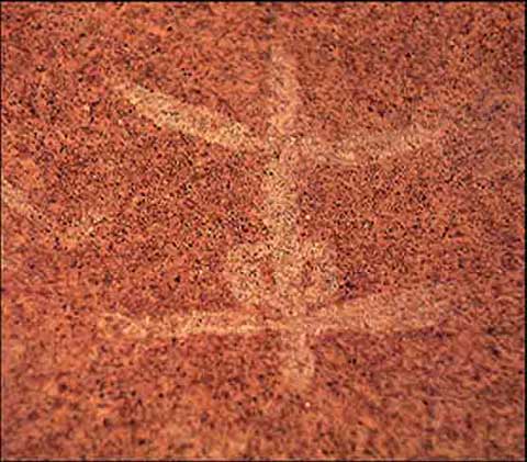
Rock Art |
Andreas Canyon |
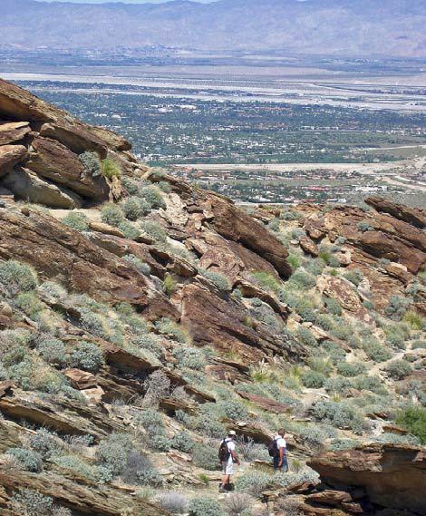
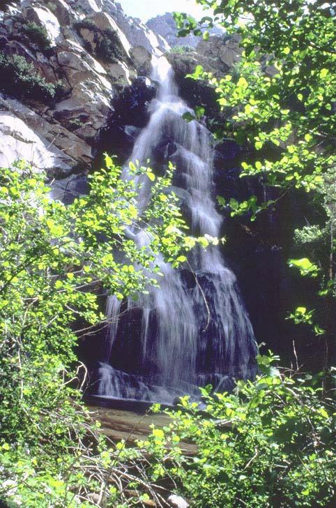
West Fork Trail |
|
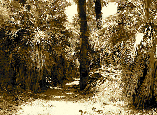
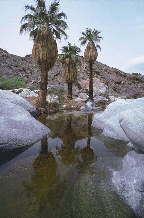
Palm Oasis |
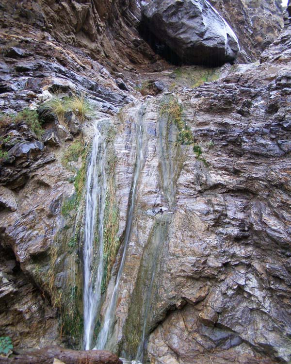
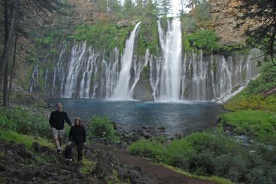
West Fork Waterfall |
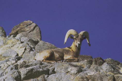
Peninsular Bighorn Sheep |
|
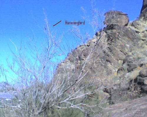
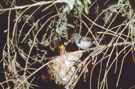
Least BellÆs Vireo |
Indian Canyon, a kangaroo rat? |
|

http://williadg.blogspot.com/2007/11/california-russians-ferns-and-bugeaters.html - california russia - http://williadg.blogspot.com/2007/11/california-russians-ferns-and-bugeaters.html
An easy walk from County Road S-22, the Lute Fault Escarpment is a pile of hard-packed rock and sand more than two miles long. It is the longest and (from the north side as pictured above) tallest of a number of fault scarps to the southeast along the Clark Earthquake Fault
Over millions of years, storms have eroded the sides of the Santa Rosa Mountains causing rocks and sand to pile up on the fault. The earth has moved as earthquakes have taken place, and the sand piles have been hardened and stretched into escarpments, or scarps.
If you study the habits of wildflowers and you visit in wildflower season, you might find it interesting to compare the flowers you see on the scarp with the flowers you see in the mountains.
Getting to Lute Fault Scarp. Drive 10 miles east of Christmas Circle in Borrego Springs on County Road S-22 and park at Call Box S22-319. The Truckhaven Trail, now a jeep road, enters the parking area from the west. The Thimble Trail begins just across S-22 on the south.
There is no path to the Lute Fault Scarp. Merely aim for the large ridge to the east of Clark Valley. You will pass the long Lute Fault Scarp on your left. From this side, you will find an easy trail of a few steps to put you on top of the fault scarp. From there, you can look back for an idea as to how the sand flowed out of the mountains. Walk around to the north side of the fault scarp to get the best picture of its size.
To see other fault scarps, look along the Thimble Trail or the Truckhaven Trail
When the Mountain Cahuilla left the Santa Rosas, they unfortunately left little or no evidence of their village sites. While anthropologists have been able to conduct interviews and write several good books on Mountain Cahuilla life, the visitor to their territory can for the most part only imagine what it took to survive here.
The trails would have been trade routes. We know that the village of Natcuta stood somewhere near where White Wash (pictured above) joins Horse Canyon. The village of Ataki was about 10 tough miles up White Wash, over the mountains, and down to Hidden Spring in Jackass Flat. The village of Pauki, through which Anza passed on his marches to Monterey and San Francisco, was less than three miles from where the picture was taken. It would have been easier to walk down Horse Canyon from Natcuta to Coyote Canyon and villages there.
Schad identifies Alcoholic Pass as an original Indian route. Hikers who walk up Palo Verde Wash past the Moly mine to the Natural Sheep Tanks cross the old Cahuilla trail to Wonderstone Wash which leads to further Cahuilla trails.
It goes without saying that trails connected the villages of Natcuta in Horse Canyon, Pauki near Anza, Wiliya and Nauhanavitcem in Fig Tree Valley, Tcia near Alder Canyon, Pat-cha-wal or San Ignacio, Hokwitka on the Middle Fork of Borrego Palm Canyon, and Ho-la-kal or San Ysidro on San Ysidro Creek on the west slope of San Ysidro Mountain.
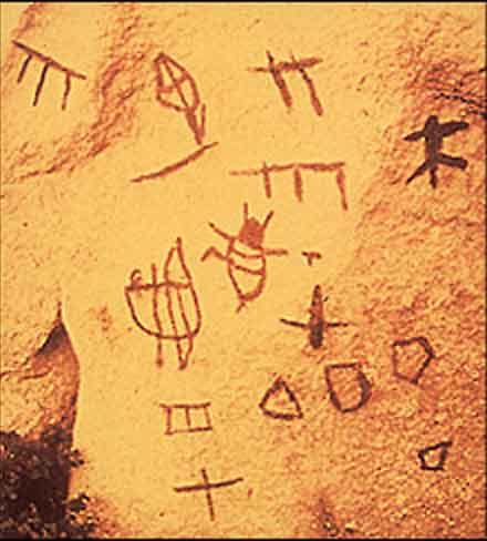
The Indians of the Anza-Borrego Desert, the Cahuilla, Cupe±o, Diegue±o, and Kumeyaay, left a legacy of religion, mythology and social customs. They also left a legacy of art: an open-air gallery of rock art. These petroglyphs and pictographs are eyewitness accounts, vivid on-the-scene reports that give us some idea of what was important to the people who once inhabited this desert.
The rock drawings speak of the soul of man, of his religion and mythology and his inner feelings about the spirits and the universe. Rock art is a testimony of ceremonies, of important historical occasions, as well as of the fears and joys of life. Rock art is also symbolic communication conveying powerful images of the supernatural; it is a mirror, reflecting the complexity of human culture and the intricacies of the mind.
Rock art speaks of the forgotten artist of the Anza-Borrego Desert. Forgotten in the sense that his works of art, displayed on the surfaces of rocks have only in the last twenty-five years been rediscovered and systematically studied.
One thing the reader will not find on this Web site is a detailed description of rock art locations within the Anza-Borrego Desert. It is best to leave them in their sacred obscurity. For those who hike and explore this beautiful desert, a chance find of rock art can heighten the wilderness experience. If you find a remnant of these treasures, we ask you to respect it. It may have little meaning to the viewer, but it is part of the Native American heritage, which is quickly fading away. It is truly art. Much of it was sacred. Treat it with reverence.
http://www.abdnha.org/04rockart_main.htm
http://www.malkimuseum.org/
http://www.abdnha.org/03flower_main.html
http://www.abdnha.org/pages/06_exploring/north/drivehike/anza.htm
http://www.flickr.com/photos/lonqueta/sets/72157625488038015/detail/?page=2 - masquite flat spring
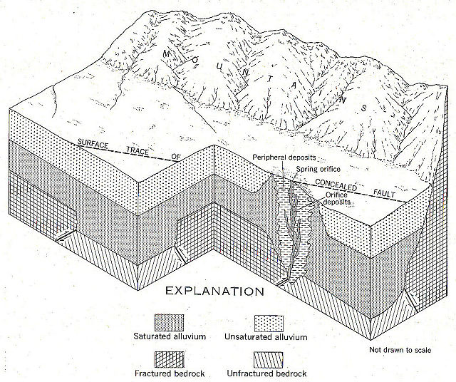
Evidence suggests that precipitation on the San Jacinto mountain range, seeping into a fractured, granitic basement complex, is the source of the Agua Caliente Hot SpringÆs waters. The Hot Spring may also be associated with seismic faulting, as its orifice has been known to change locations following earthquakes.
Uniquely situated in the heart of the Agua Caliente Indian Reservation on a square mile called Section 14, the Hot Spring was known as Sec-he (ōboiling waterö) to Cahuilla-speaking people and as Agua Caliente (ōhot waterö) to early Spanish-speaking expeditions to the area. Today it is located underground near the corner of Tahquitz Canyon Way and Indian Canyon Drive ¢ its waters collected and diverted to a spa facility in the same location. The Hot Spring''s waters remain popular
http://www.accmuseum.org/Wahaatukicnikic -Agua Caliente Cultural Museum
http://www.world-of-waterfalls.com/california-tahquitz-falls.html - Tahquitz Falls
Santa Rosa and San Jacinto Mountains National Monument
next
Santa Rosa Mountains
Plant Guide to Art Smith Trail (old section), Santa Rosa Mountains
Tahquitz Canyon