 |
|
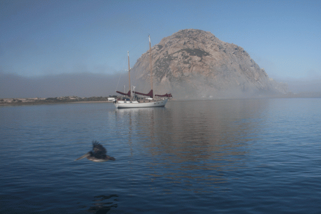
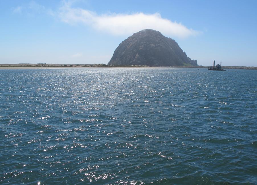
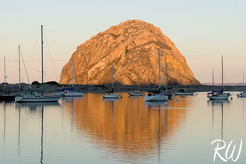
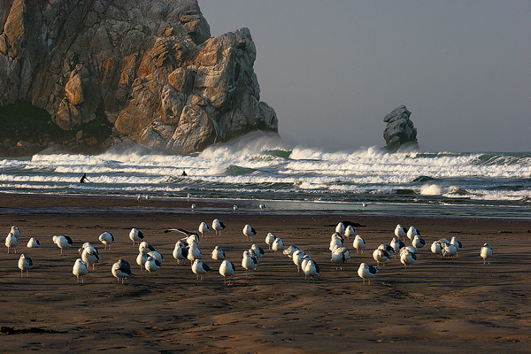
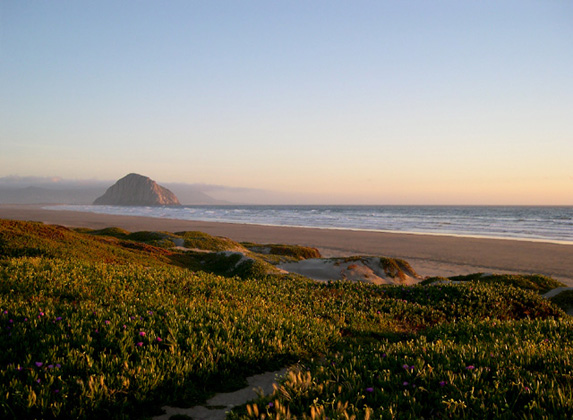
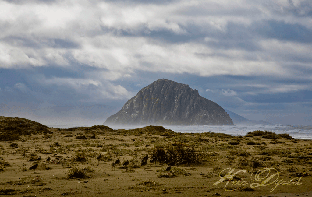
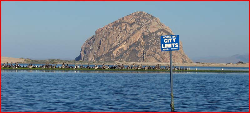
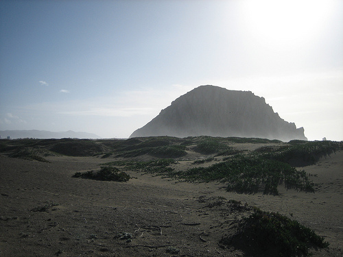
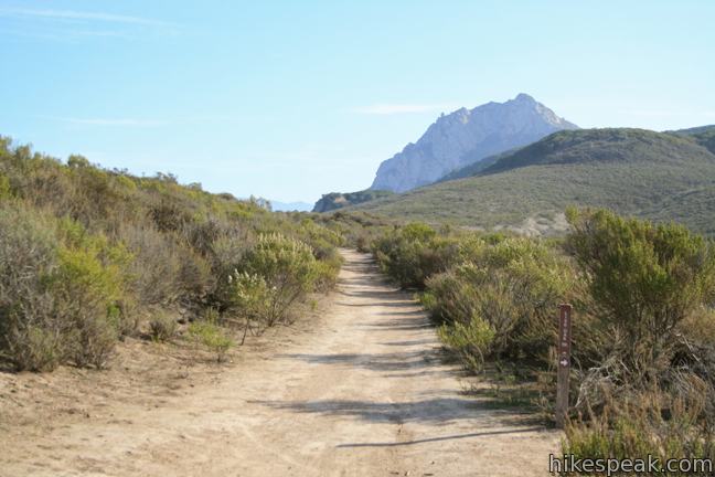
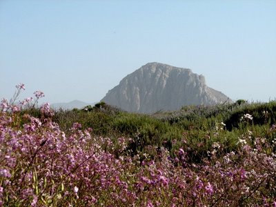
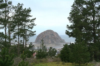
Скала Morro -"Gibralter Тихого океана", является 578-м вулканoм в цепочке древних вулканических останцов |
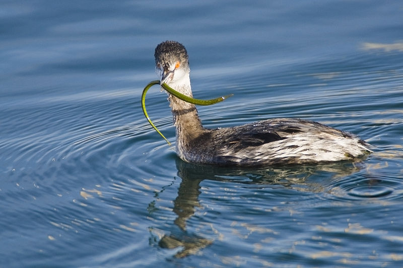
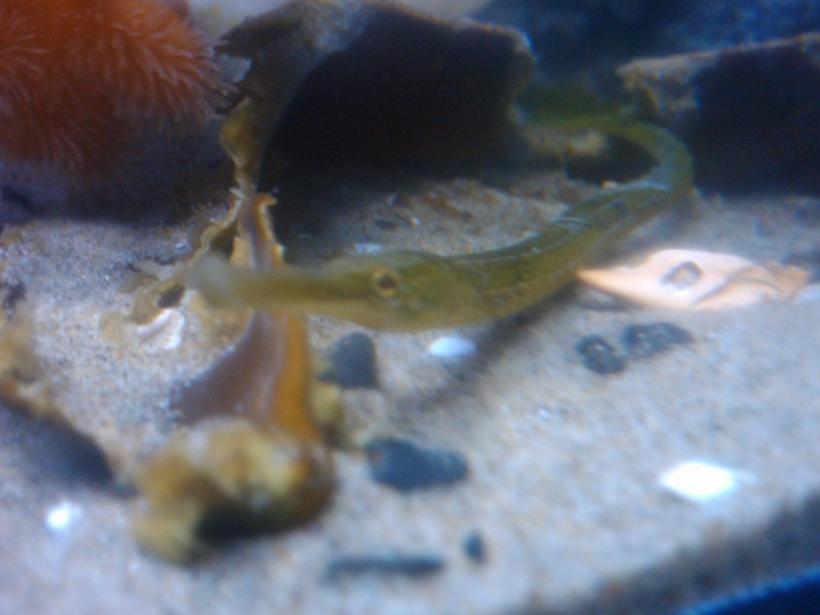
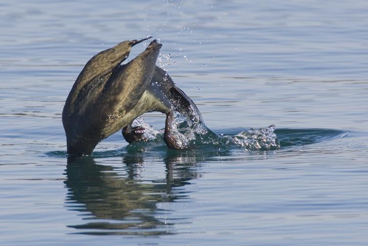
гигантский холодноводный морской конек. Horned Grebe captures and swallows a large cold-water pipefish |
гигантский холодноводный морской конек. |
|
|
|
|
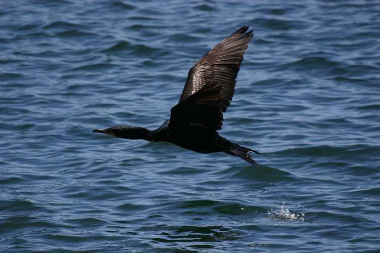
баклан double crested cormorant |
|
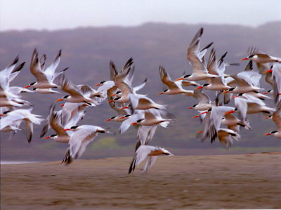
Flying Terns |
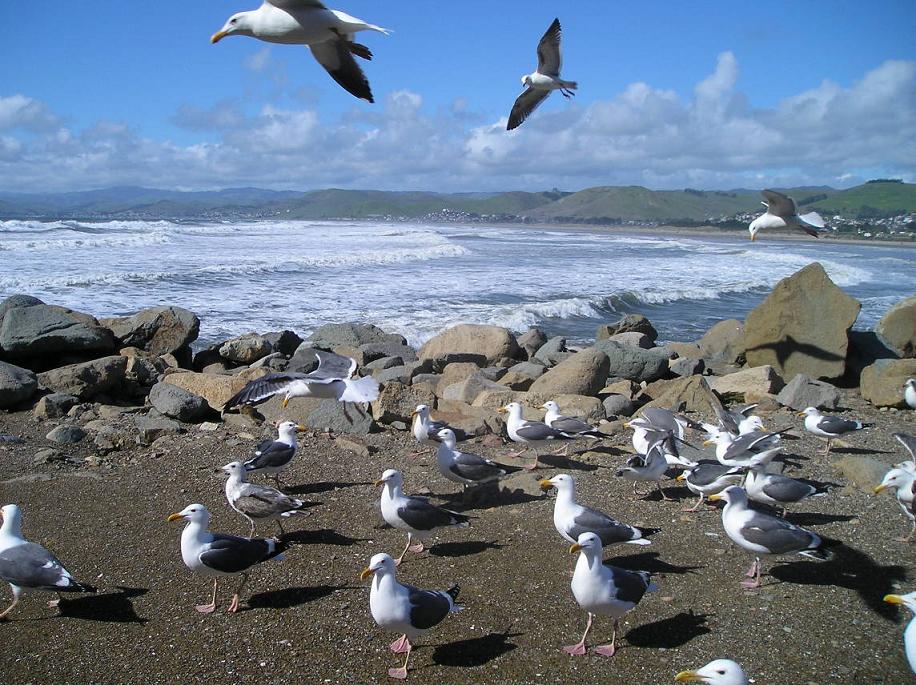
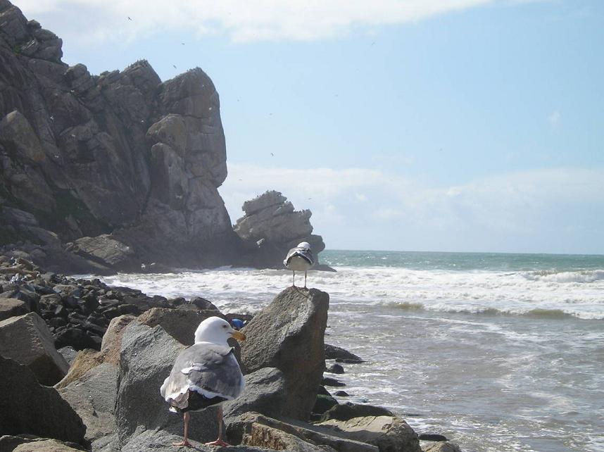
guls |
glenn-gulls |
зимний птичий фестиваль |
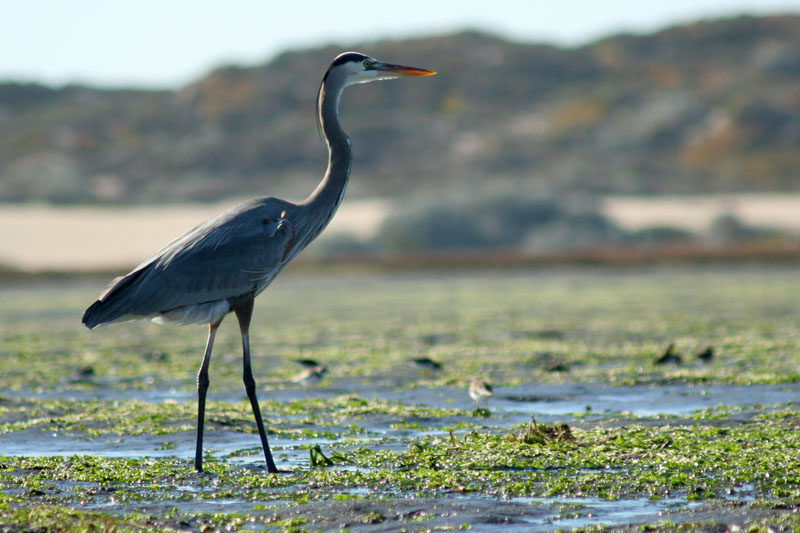
Heron |
|
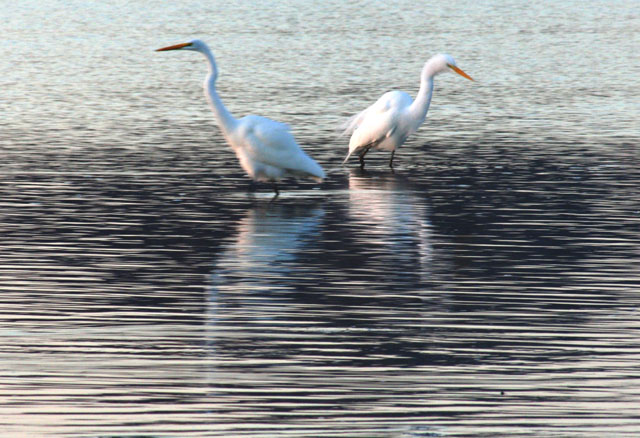
Egrets |
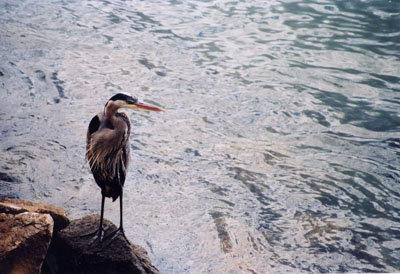
Blue herron |
баклан Cormorant |
|
|
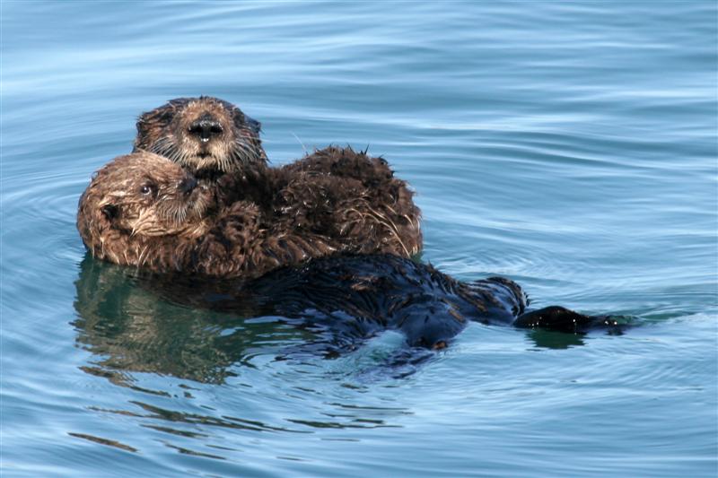
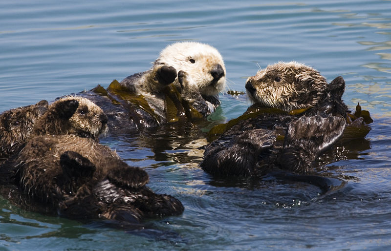
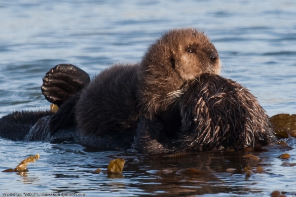
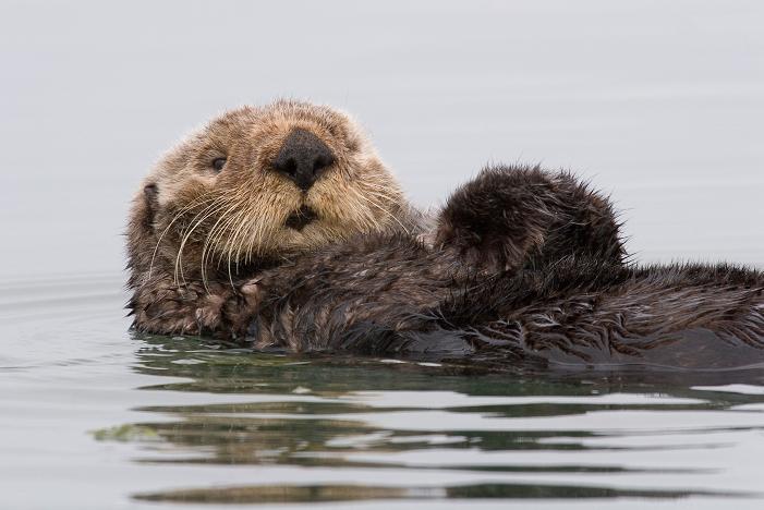
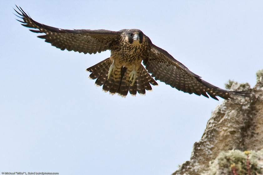
Две дюжины вымирающих видов живут в водоразделе Морро-Бэй: сапсан, казаркa, коричнев. пеликан, морскaя выдрa, кенгурoвaя крысa Морро-Бэй, снежный зуек, стальноголовый лосось, the peregrine falcon, brant, brown pelican, sea otter, Morro Bay kangaroo rat, black rail, snowy plover, steelhead trout, salt marsh bird''s beak, and Morro manzanita |
Falcon. |
Photo -Richard Wong |
Avila Beach |
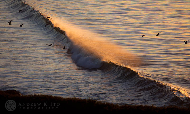
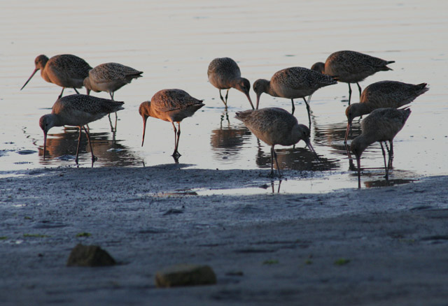
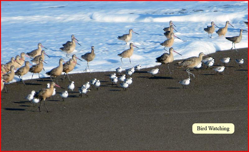
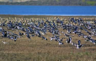
3алив - главная остановка на Тихоокеанском миграционном маршруте и зимoвкa более чем 70 миграционных видов птиц |
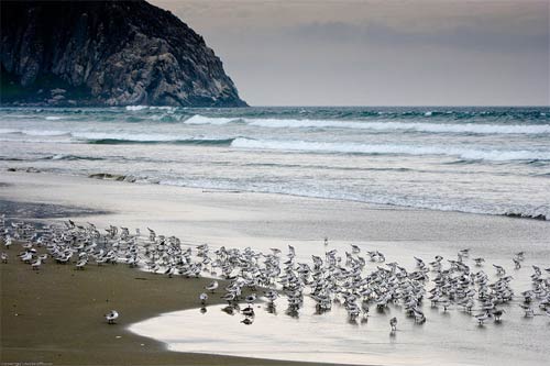
Sandpipers |
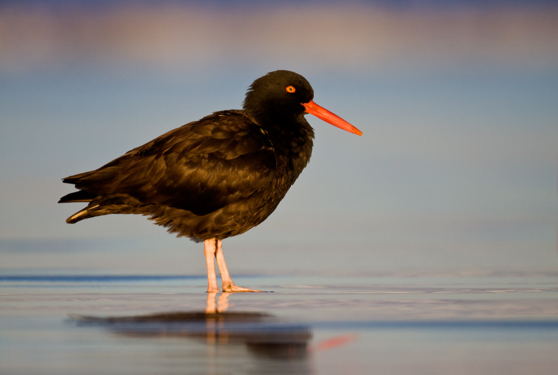
Black Oystercatcher |
glenn gulls |
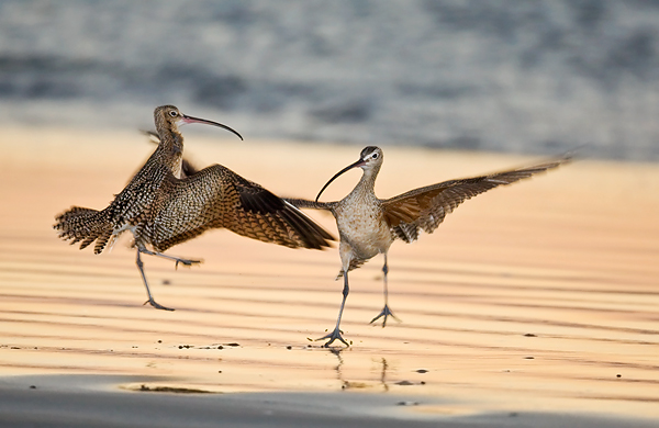
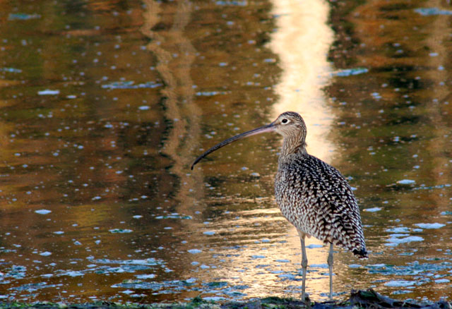
Curlew |
|
|
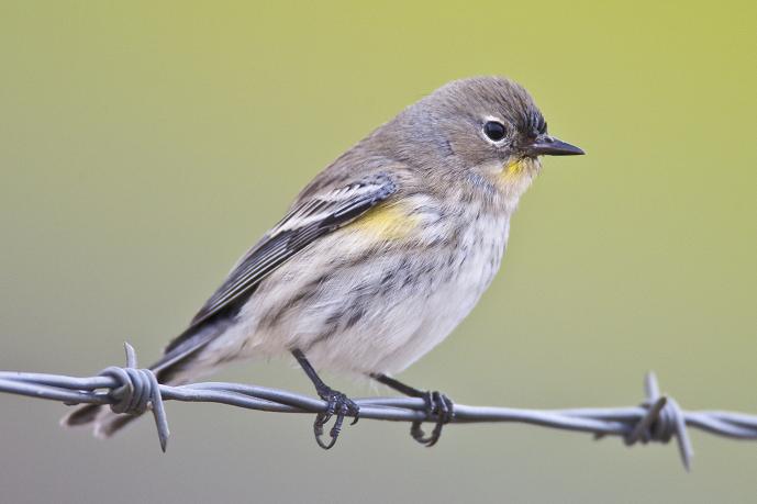
Морро-Бэй является родиной сотен видов птиц, включая редкие и вымирающие виды |
|
glenn-gulls |
|
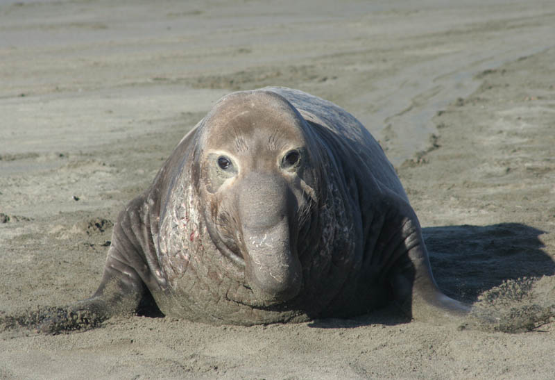
Sea Elefant |
|
|
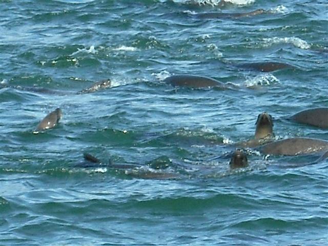
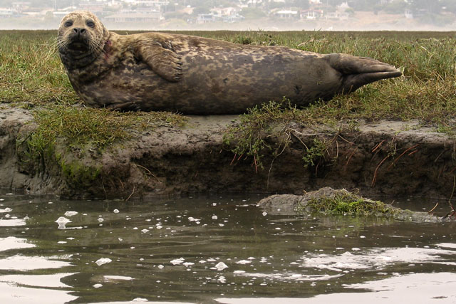
Harbor seals |
Птицы. Зимние Горячие точки |
|
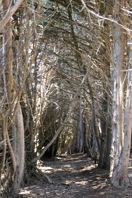
Cupres trees |
Cypress At San Simeon Point |
caoty |
|
|
|
|
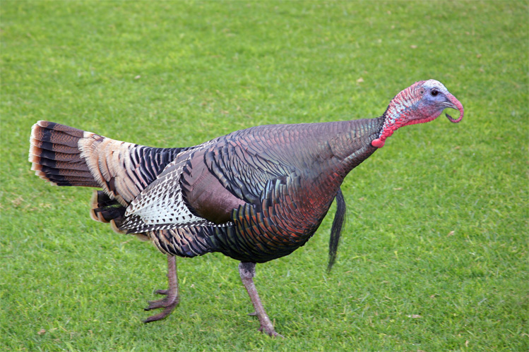
Wild Turkey |
Cerro Cabrillo live oak trail |
|
|
Black Skimmer skimming for fish Bolsa Chica Wetlands |
|
|
|
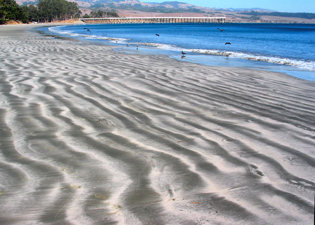
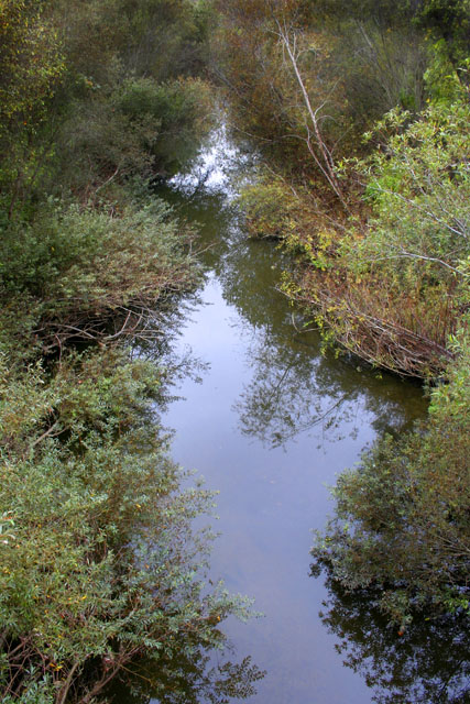
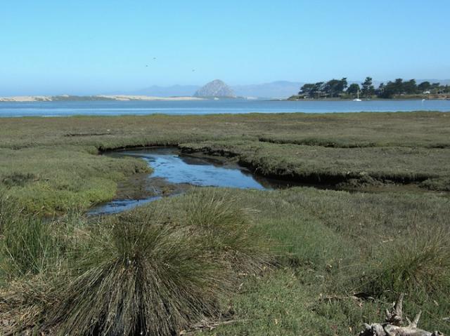
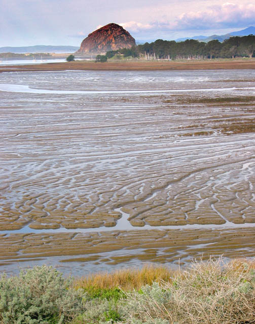
Chorro and Los Osos Creeks - the Morro Bay Estuary- Устьe создает смесь морской и пресной воды, это место находится среди самых богатых и самых производительных сред обитания, служит нерестилищeм, критически важнo для ржанок и водоплавающей птицы. -http:// www.morrobay.com/estuary.htm |
эстуарий -отлив |
эстуарий-прилив |
|
|
|
|
|
|
|
|
|
Small short raker rock fish |


Chumash Indians lived and hunted in the dunes as early as 8,000 years ago. Their diet consisted largely of seafood and shellfish and their discarded piles of shells, termed "shell middens," can be seen on the Guadalupe-Nipomo Dunes. The Spanish explorer Juan Cabrillo was the first European to see the dunes in 1542. But it was not until 1769, when Gaspar de Portola''s expedition hunted and camped in the dunes, that the dunes were actually explored by the white people. Portola''s expedition began the Mission Era and the Christian indoctrination of the Indians. In the 1830s, the secularization of land brought an end to the Mission Period. A Mexican land grant established Rancho Guadalupe, which included the dunes. After the Civil War, Americans bought up the dunes and surrounding lands for ranching and farming. From 1923 to the 1950s, six films were set in the dunes, including Cecil B. Demille''s version of the Ten Commandments. In the 1930s a group of artists and alternative thinkers called the Dunites inhabited the dunes just north of the Guadalupe-Nipomo Dunes Preserve. During World II, poles were placed in bunkers along the dunes to resemble cannons and create a false defensive beach head to discourage a Japanese land invasion. These facilities were dismantled after the war and the area was again used for ranching and farming as well as sand harvesting and oil production.
Geography of the Dunes
The Nipomo Dunes Complex is the second-largest stretch of dunes in California. The strip of coastline has the highest beach dunes in the western United States, with Mussel Rock Dune reaching a height of 500 feet. Dune-building began 18,000 years ago at the end of the last glacial period. The oldest dunes lie on the top of the Nipomo and Orcutt Mesas east of the preserve. These dunes are now stabilized and covered with plants. Between the mesas and the beach, younger dunes, created since the end of the of the Pleistocene Epoch, form a series of sparsely vegetated ridges and hollows. Wind-borne sand is carried inland from the beach and deposited into the characteristic parabola or bowl-shaped mounds.
The Santa Maria River plays a major role in the creating and maintaining the preserve''s dunes. The river brings sediment to the coast and deposits it on offshore sandbars during the winter season. In summer, this sediment is washed onto the beach and then blown inland by the northwesterly winds. This inland movement forms transverse-ridge and parabolic dunes. Plants stabilize the dunes; thus, when dunes are denuded of vegetation, the dunes are dispersed by the wind, and rapidly migrate inland
Guadalupe-Nipomo Dunes Overview
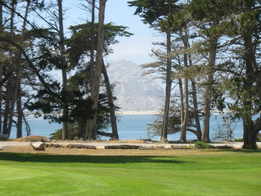
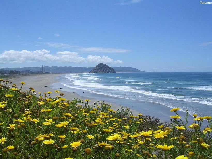
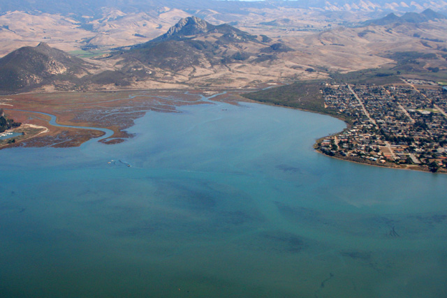
The seaside village of Morro Bay is just outside of San Luis Obispo on the Central Coast. This coastal city is a popular beach holiday destination. It also is know for fishing, kayaking and has a bird sanctuary. Morro Rock, also called "the Gibralter of the Pacific" is a 578'' volcanic plug that lies at the entrance to the harbor and is reserve for peregrine falcons. I thought this was an interesting view.
Point Sal State Beach- http://en.wikipedia.org/wiki/Point_Sal_State_Beach
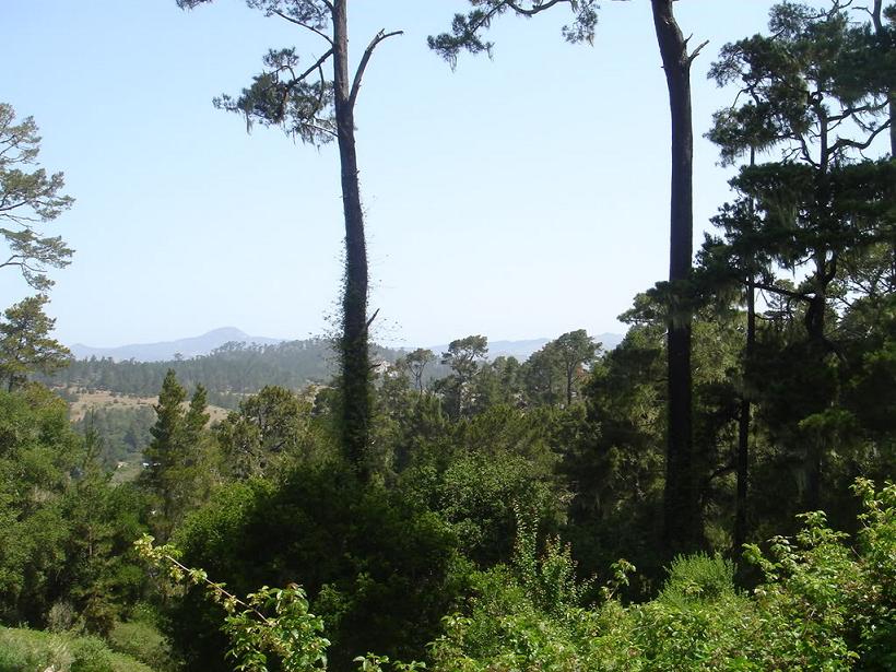
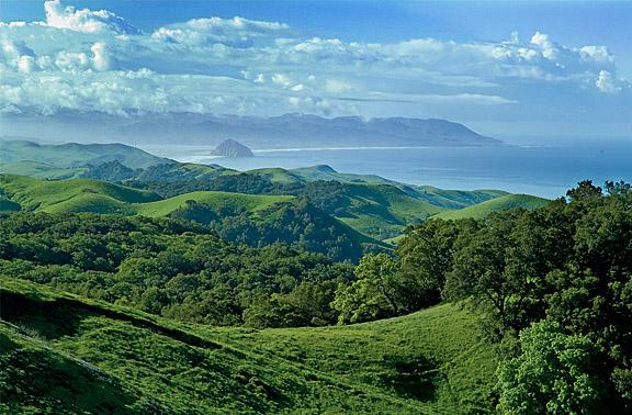
And from the same vantage point you could see Los Osos and Morro Bay
Some interesting California terrain, North of Paso Robles.
http://richp.com/pics/aerial-09-16-00/
Looking Northward down highway 1 at Morro Bay, CA
http://www.bishoppeakgroup.net/Central%20Coast%20and%20SLO/Streams%20Estuaries%20and%20Oceans/streams%20estuaries%20oceans.htm animals
http://www.morrobay.com/estuary.htm
Estuaries-
where rivers and creeks meet the sea and fresh water mixes with salt- are among the earth''s richest and most productive habitats. They serve as spawning grounds and nurseries for at least two-thirds of our nation''s commercial fisheries, and are critically important to shorebirds and waterfowl.
Two dozen threatened and endangered species live in the Morro Bay watershed, including the peregrine falcon, brant, brown pelican, sea otter, Morro Bay kangaroo rat, black rail, snowy plover, steelhead trout, salt marsh bird''s beak, and Morro manzanita.
This is from Bishops peak, the 3rd of famous 7 sisters mountain cluster in San Luis Obispo and Morro Bay