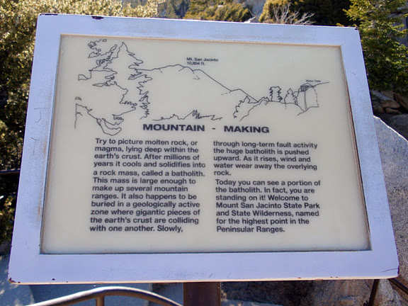
 | Mount San Jacinto state park |
|
|
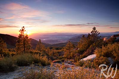
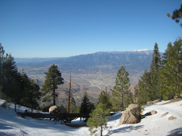
Indian Vista View of San Jacinto Valley, San Bernardino National Forest, California, Photo Blog by Richard Wong |
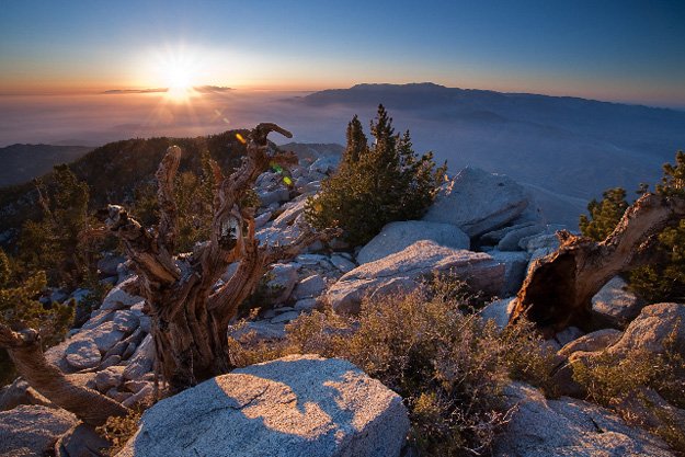
Scott MoellerÆs ōLast Rays,ö on display at Palm Springs |
|
Mount San Jacinto State Park |
|
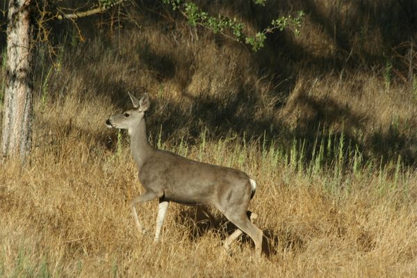
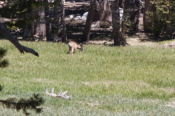
Grazing deer. |
|
|
|
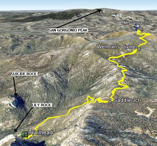
Flag-forme​d trees at Wellman''s Divide |
|
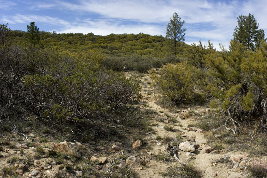
Devil trail |
http://www.parks.ca.gov/?page_id=25257 |
Mount San Jacinto State Park |
|
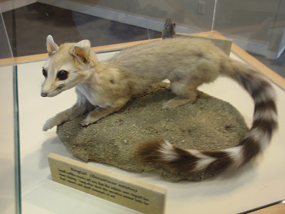
A stuffed ringtail cat (raccoon family) |
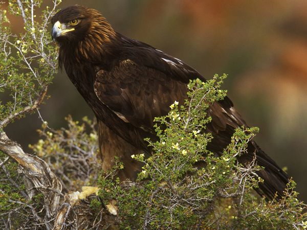
http://en.wikipedia.org/wiki/Golden_Eagle - Golden Eagle |
|
|
|
|
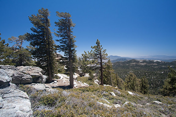
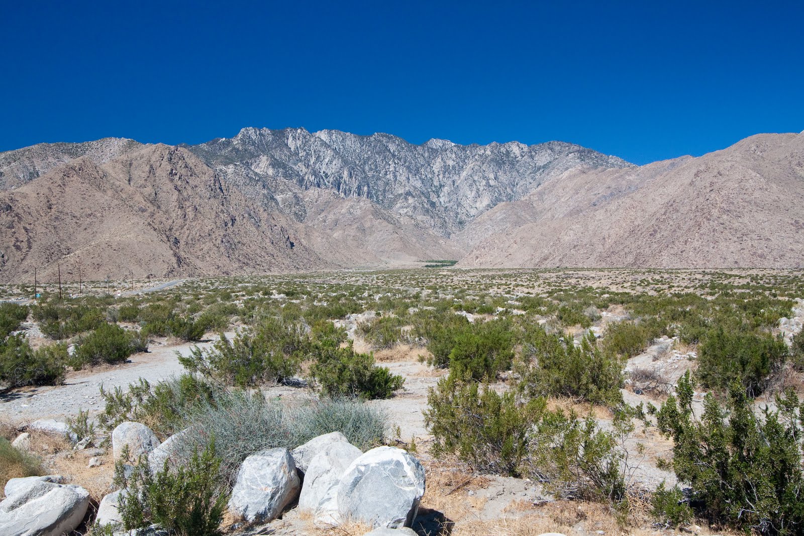
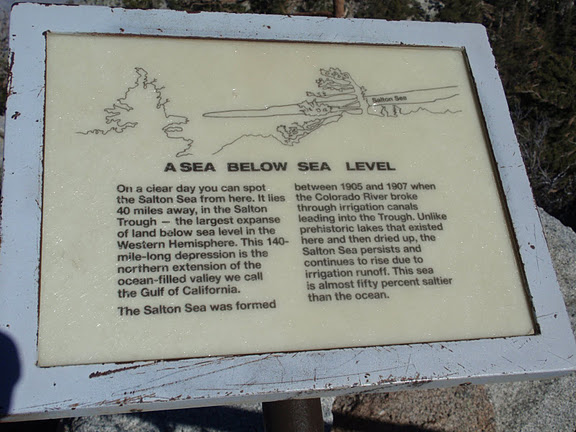
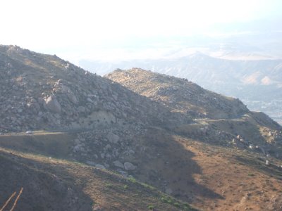
View from San Jacinto Range to desert floor |
|
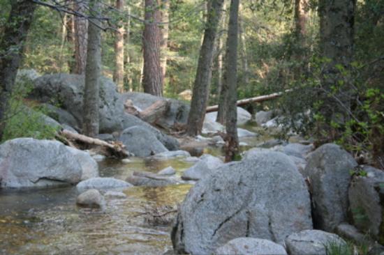
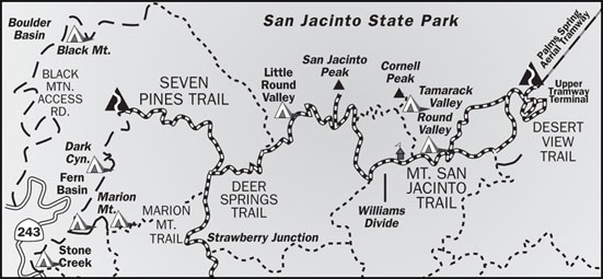
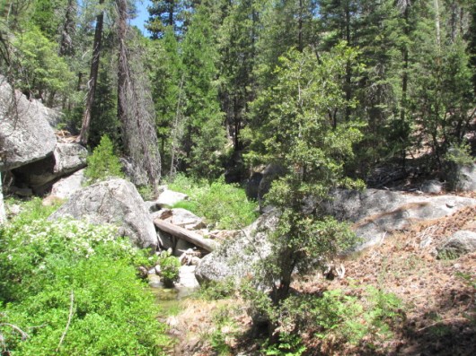
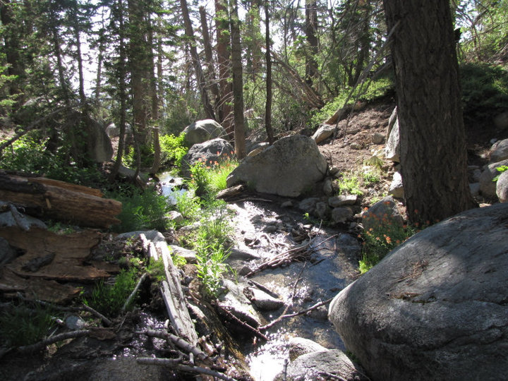
Stone Creek |
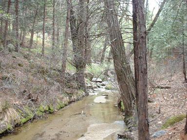
San Jacinto River |
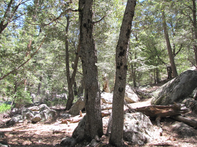
Dark Canyon |
|
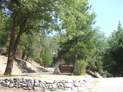
Lawler Lodge |
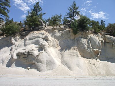
connecting up with R-243, what is styled on some maps as the continuation of the Palms to Pines Highway, with its crystlline road cuts |
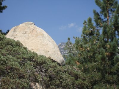
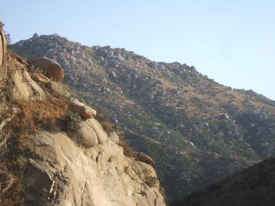
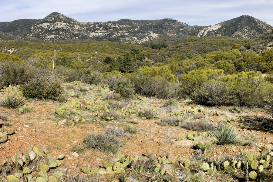
the San Jacinto Highlands |
|
More stops, with peninsular views seemingly displaced from Joshua Tree |
Another stop R243 |
Cedar Spring |
|
East of Kenworthy on the south side of the San Jacinto Mountains - Morris Ranch road (Patrick Alexander) |
East of Kenworthy on the south side of the San Jacinto Mountains - Morris Ranch road (Patrick Alexander) |
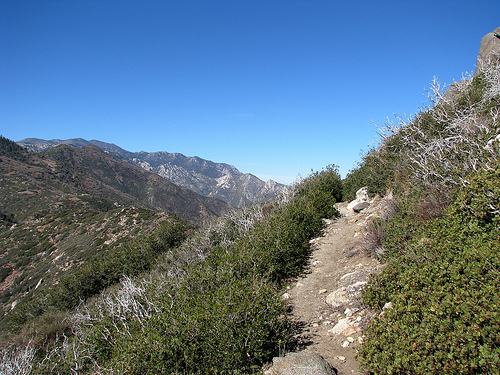
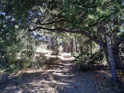
pacific crest national scenic trail |
|
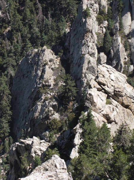
Looking down from the South Ridge trail, just below the summit |
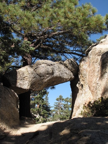
"Rock Window" on the Devil''s Slide trail |
the San Jacinto river |
|
Black Mountain, with a view of the San Gabriels |
Black oaks near the summit of Tahquitz Peak |
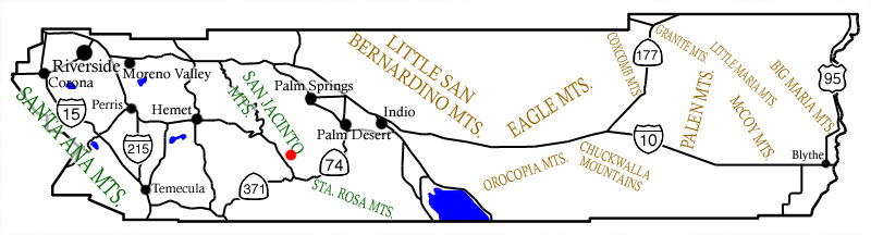
Riverside map |
Dark Canyon topo map
Riverside museum
Gerbarium from Riverside museum