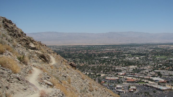
 | West Palm Springs Coachella |
|
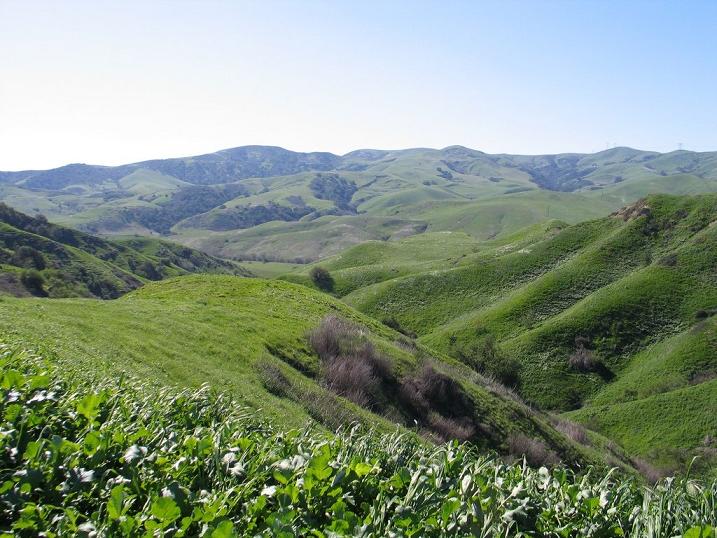
Chino Hills State Park, a premier natural open-space area in the hills of Santa Ana Canyon near Riverside, is a critical link in the Puente-Chino Hills biological corridor. It encompasses stands of oaks, sycamores and rolling, grassy hills that stretch nearly 31 miles, from the Santa Ana Mountains to the Whittier Hills. Chino Hills is vitally important as a refuge to many species of plants, and as a link between natural areas essential to the survival of many animal species - .http://socal-hiking-trails.blogspot.com/2010_10_01_archive.html !!! |
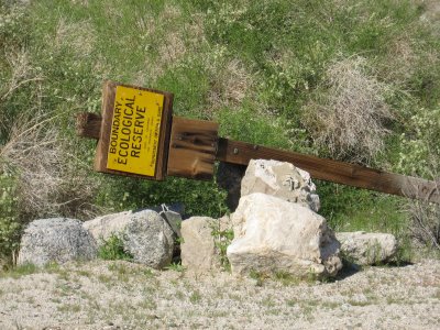
Bolsa Chica Ecological Reserve -http://ocbirderca.blogspot.com/2009_06_01_archive.html |
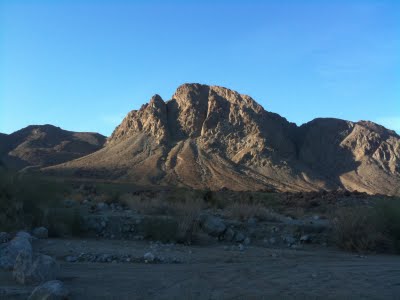
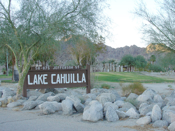
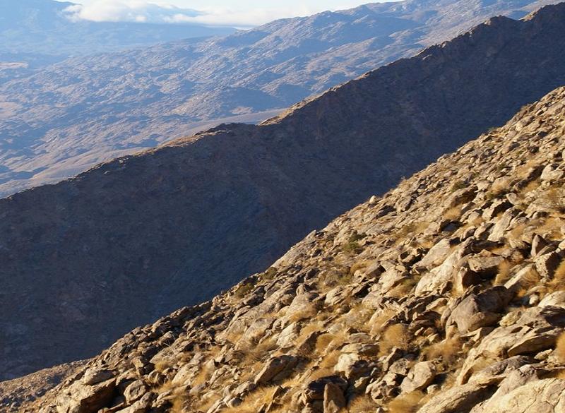
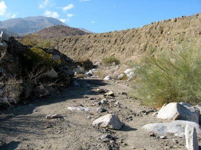
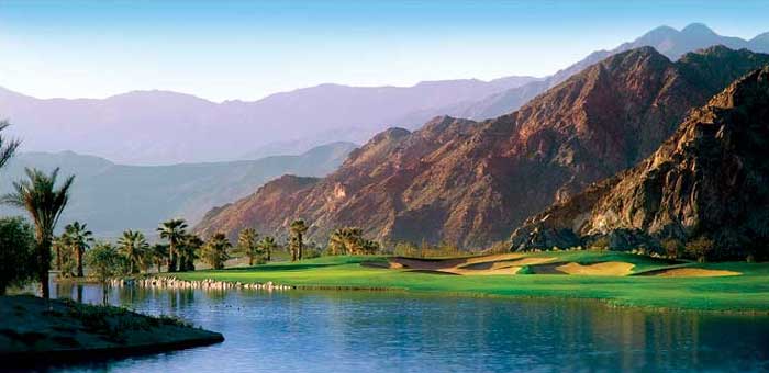
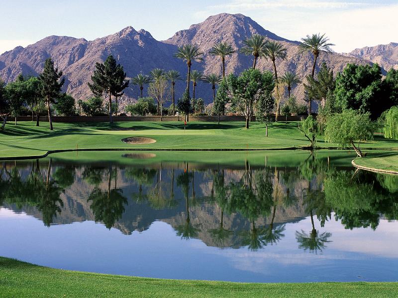
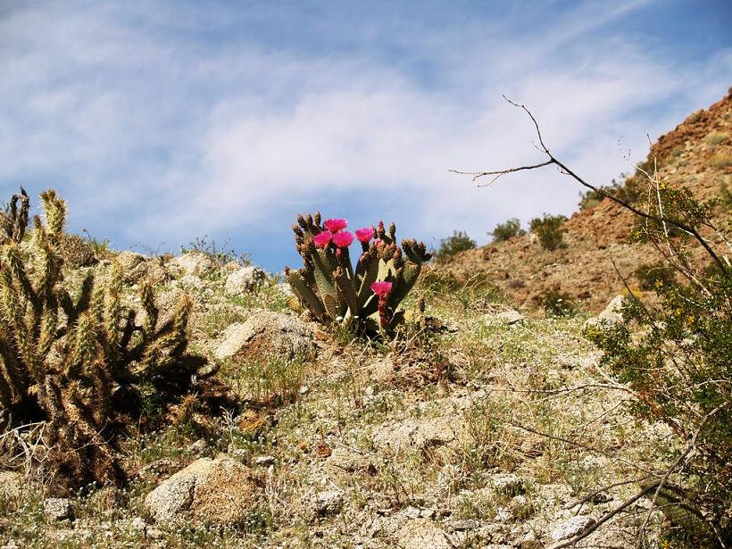
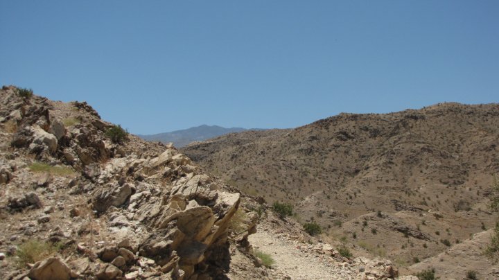
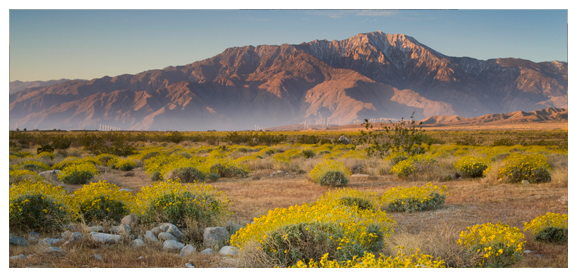
South of Lake Cahuilla |
|
South of Lake Cahuilla |
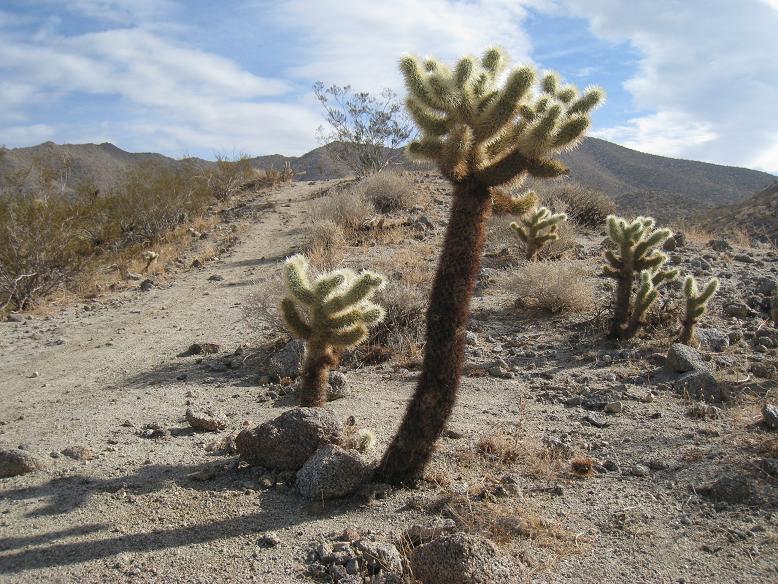
the Boo Hoff Trail |
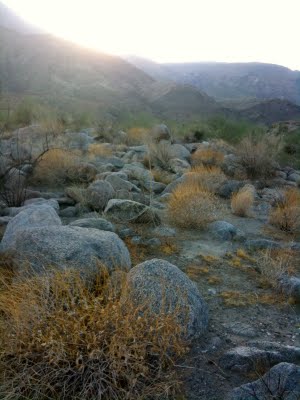
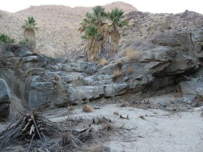
The Boo Hoff Trail, Devil Canyon, south of La Quinta |
|
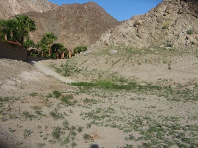
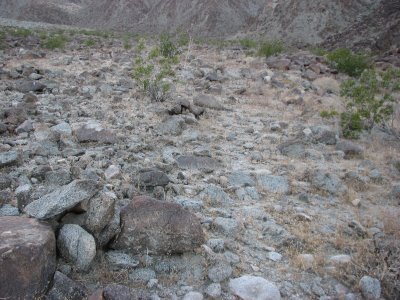
the wash and head out overland |
|
|
|
an Indian trail marker |
|
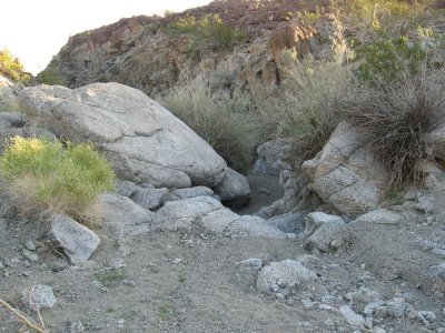
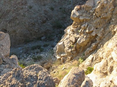
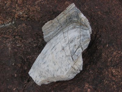
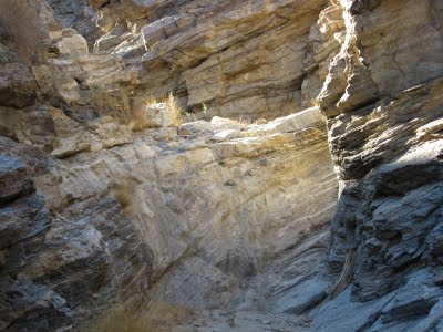
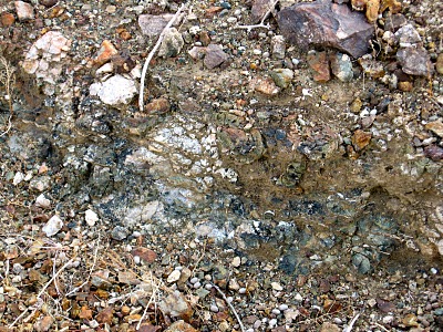
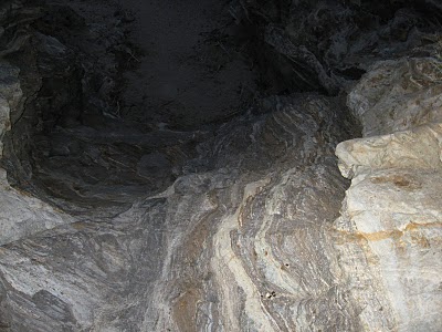
a trail that connected Devil Canyon, south of La Quinta with the area near the Martinez Landslide.It''s travertine |
|
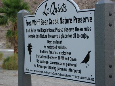
Boo Hoff Bear Creek Loop. Bear Creek |
|
|
|
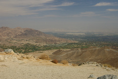
the Torrez Martinez reservation near the water line of ancient Lake Cahuilla |
near the water line of ancient Lake Cahuilla |
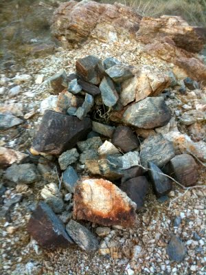
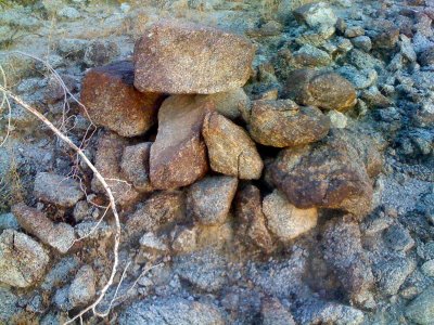
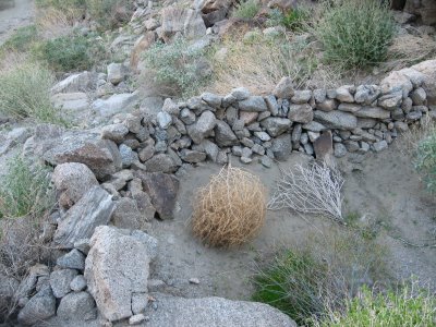
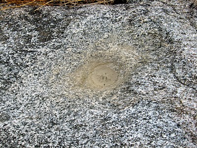
A trail monument |
|
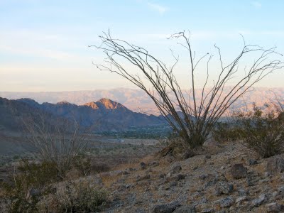
Eisenhower mountain trail |
Eisenhower mountain trail |
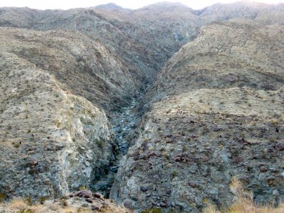
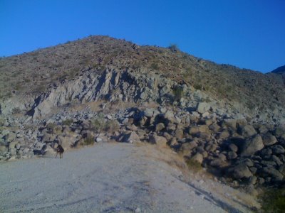
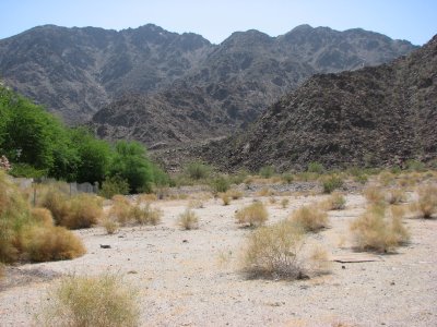
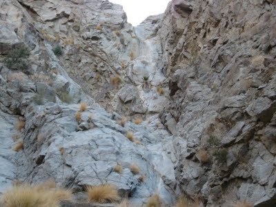
Between Devil Canyon and Martinez Landslide |
|
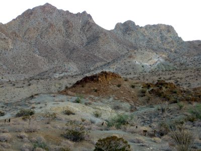
Between Devil Canyon and Martinez Landslide - There''s an Indian Trail that heads from Devil Canyon in South La Quinta over toward the Martinez Landslide |
the landslide area |
the Boo Hoff Trail down toward the Martinez Landslide. |
|
Indian Trail that goes between Indian Wells and La Quinta |
Indian Trail |
Indian trail |
|
La Quinta - an alluvial fan lying beneath Coral Reef Mountain. |
|
The Cahuilla had a village site here in La Quinta and hunted and gathered all throughout these hills |
|
the Cove in La Quinta |
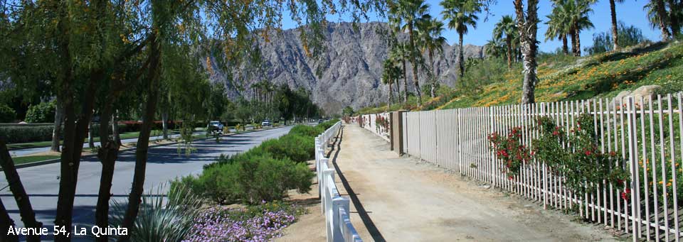
La Quinta |
Silver Rock, La Quinta |
|
Indian Wells |
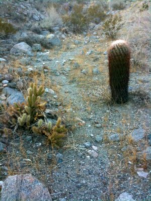
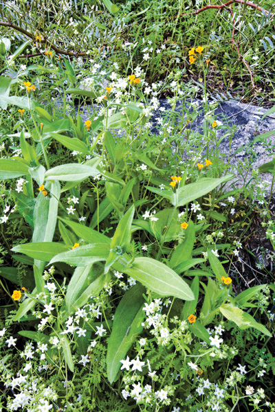
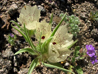
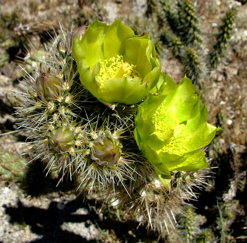
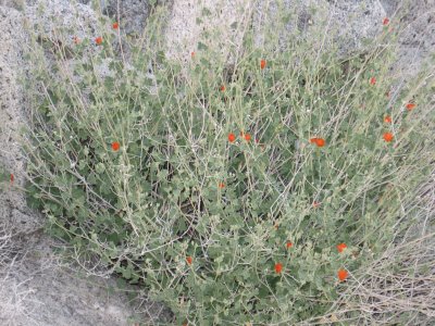
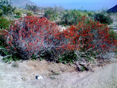
Ghost Flowers are pretty common along Devil Canyon at the southern end of the Boo Hoff. |
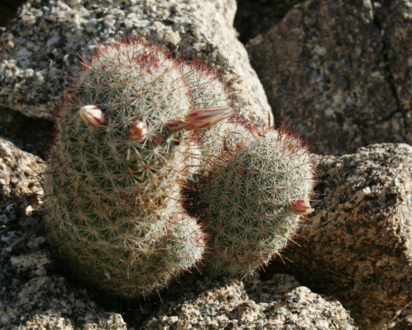
The Desert Five Spot |
|
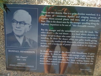
Randall Henderson Trail, two chollas |
The Randall Henderson Trail. A few fishhook cacti had blooms on them |
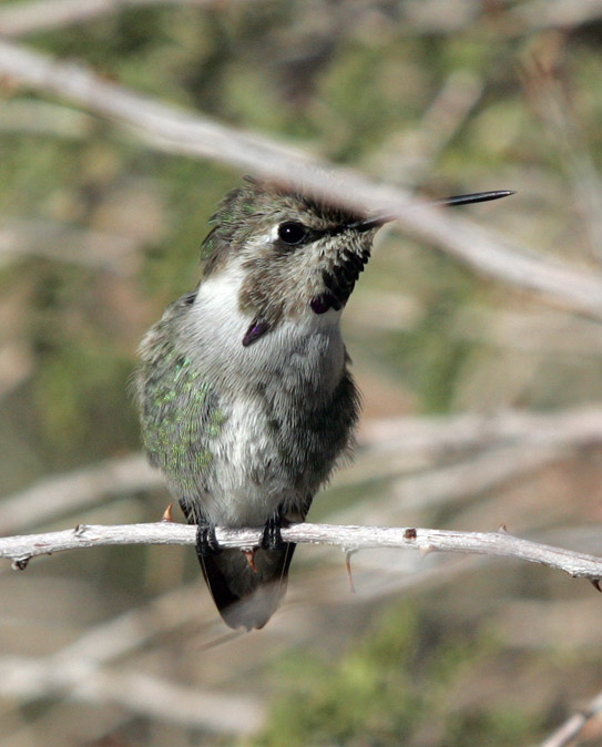
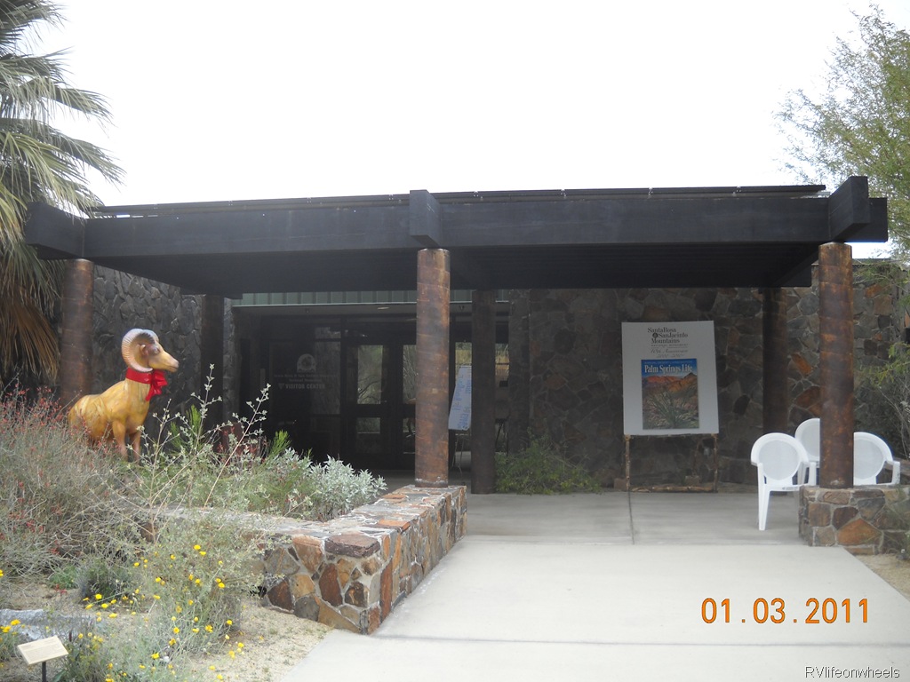
A hummer, National Monument Visitor Center |
|
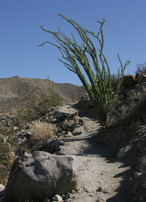
The Randall Henderson Trail. the green ocotillos and early blooms |
Randall Henderson Trail, Beavertail. |
Randall Henderson Trail |
|
|
|
National Monument Visitor Center |
|
Randall Henderson |
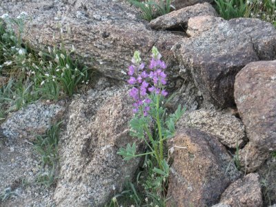
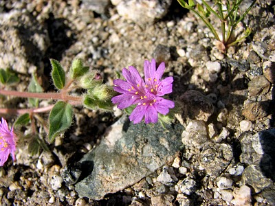
Arizona Lupine |
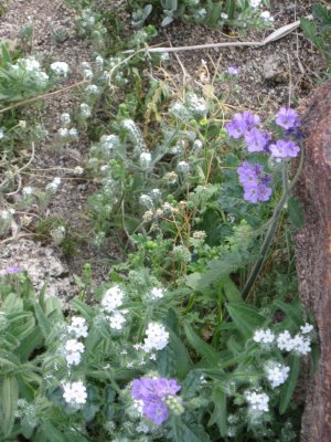
Forget Me Nots and the purple Notch-leafed Phacelia. |
|
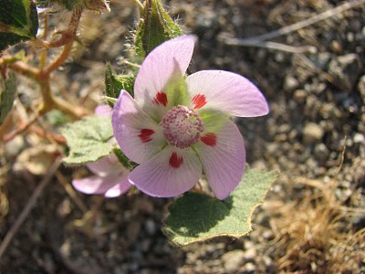
Desert Mallow |
Windmill flowers |
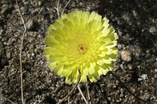
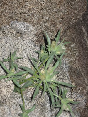
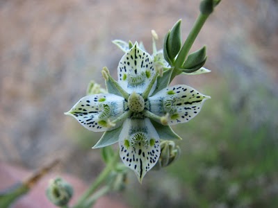
Ghost Flower |
|
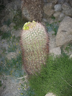
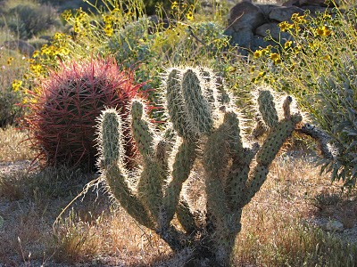
Red Barrel Cactus |
The Chuparosa |
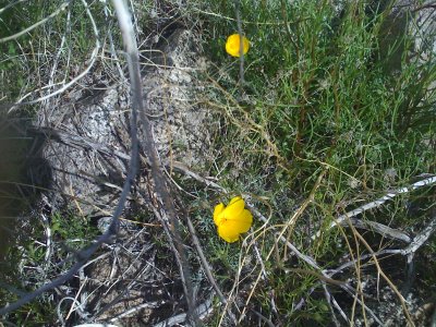
Desert Poppies |
|
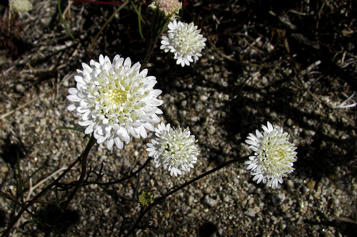
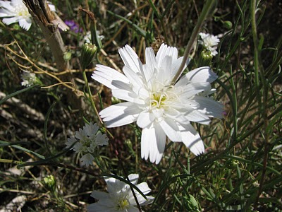
Desert Chicory |
Cholla, Red Barrel and Brittlebush in the late afternoon light near the Schey Trail |
the Silver Cholla |
|
Hopalong Cassidy Trail Palm Desert garden |
Hopalong Cassidy Trail in Palm Desert Mountains |
Hopalong Cassidy Trail in Palm Desert Mountains |
|
El Toro Peak from the Hopalong Cassidy trail |
Rancho Mirage from the Jeffries Trail |
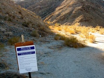
Magnesia spring ecological reserve |
|
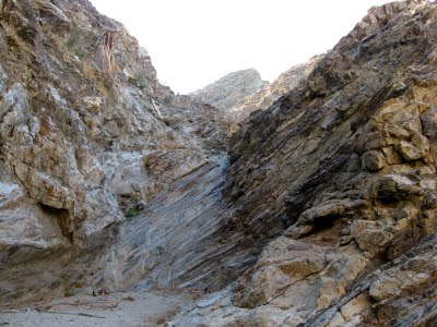
Magnesia Spring Canyon. Magnesia Falls Drive -http://hikeeveryday.blogspot.com/2009/10/magnesia-spring-canyon.html |
Magnesia Falls Drive-the first dry fall you get to climb is this little faux oasis. This was built to make a water guzzler seem more natural. |
Magnesia Falls Drive.The second dry fall is about thirty feet tall |
|
At the top of the fall is another guzzler which is a popular watering hole. Magnesia Falls Drive |
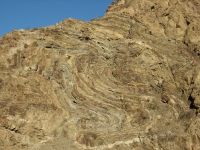
Magnesia Falls Drive. From the top of the fall you can look back at the interesting geology of the canyon wall |
There are lots of other little falls. Magnesia Falls Drive |
|
Magnesia Falls Drive. There a good size oasis on the left of the canyon and it''s tempting to go left into this canyon but if you wait until the next oasis on the left that one will lead you to Magnesia Falls |
This is Magnesia Falls. It is probably forty feet tall and is completely dry. During wet years this fall flows liberally and a pool forms at the bottom. |
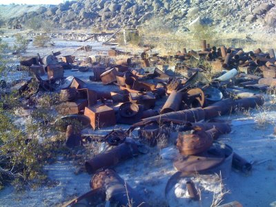
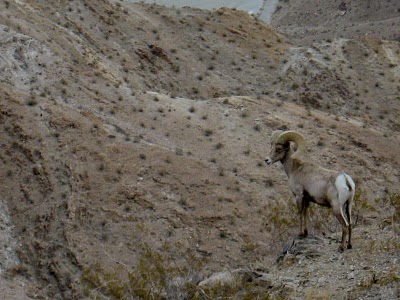
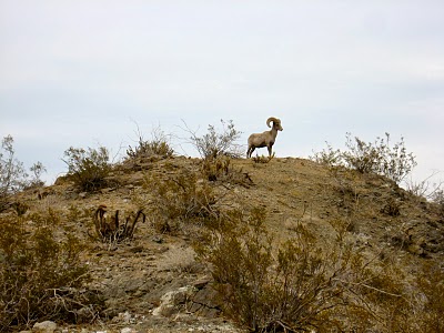
Indian activity, Rancho Mirage: Magnesia Falls Mine and Bighorn Sheep |
|
Magnesia Falls Canyon in Rancho Mirage |
|
the Bighorn |
|
Desert Bighorn |
|
Palm Desert |
|
|
Cahuilla Mountain |
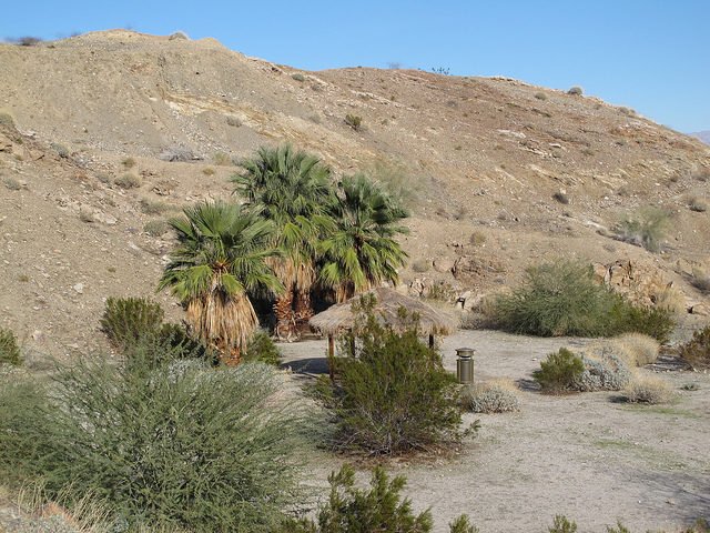
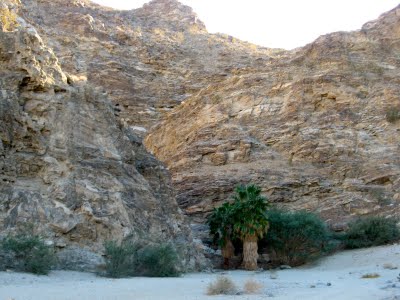
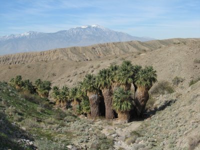
Indian Palm Oasis, Mount San Jacinto in the background |
|
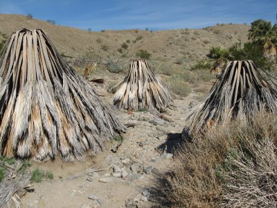
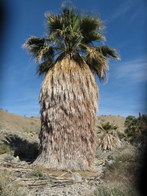
Indian Palm Oasis |
Here is a beautiful full skirted Washingtonian filifera, California Fan Palm. Mesquite and palms are both indicators that water is just below the surface. Both require constant water to survive, especially the palm trees, which have shallow roots. |
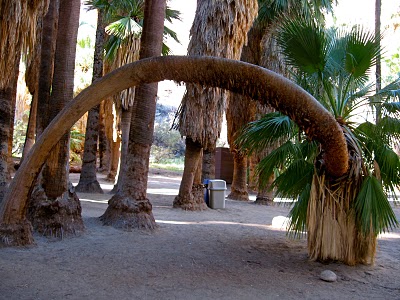
the Indian Canyons |


http://hikeeveryday.blogspot.com/search/label/indian%20trail - red canyon Arizona
http://www.kenpapai.com/travels/coachella2004.html
http://nobodyhikesinla.com/2010/09/04/bump-and-grind-loop/!!!El Topo Peak from the Hopalong Cassidy trail
http://www.dfg.ca.gov/lands/er/region6/ - Ecological Reserves - Inland Deserts Region
Next
Indian Canyon
Hike Every Day
Lake Cahuilla County Park and Riverside Parks
Peninsular Ranges Ecological Reserve - Riverside County